Caerhun (Canovium/Conovium) Roman Fort 3D Lidar
sketchfab
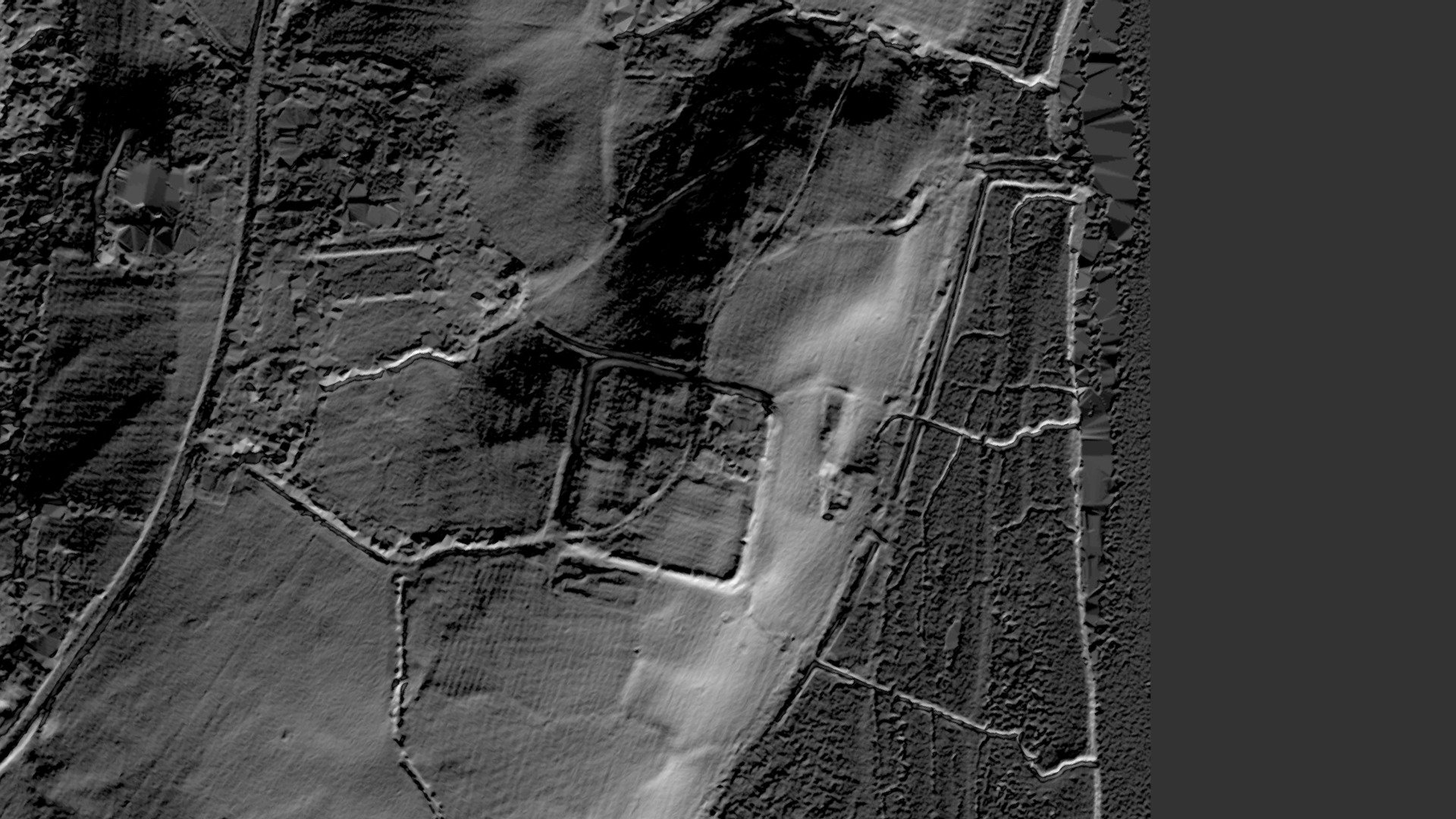
Canovium is a well-fortified first-century stronghold strategically situated to safeguard a crucial river crossing over the River Conwy. Located at precise coordinates SH 77630 70362, latitude 53.216184 and longitude -3.8340703, this ancient fortress lies approximately four and a half miles south of the bustling town of Conwy. A highly detailed three-dimensional Lidar model has been meticulously crafted from Environment Agency-provided one-meter resolution Digital Terrain Model (DTM) Lidar data.
With this file you will be able to print Caerhun (Canovium/Conovium) Roman Fort 3D Lidar with your 3D printer. Click on the button and save the file on your computer to work, edit or customize your design. You can also find more 3D designs for printers on Caerhun (Canovium/Conovium) Roman Fort 3D Lidar.