C951 Moulki
sketchfab
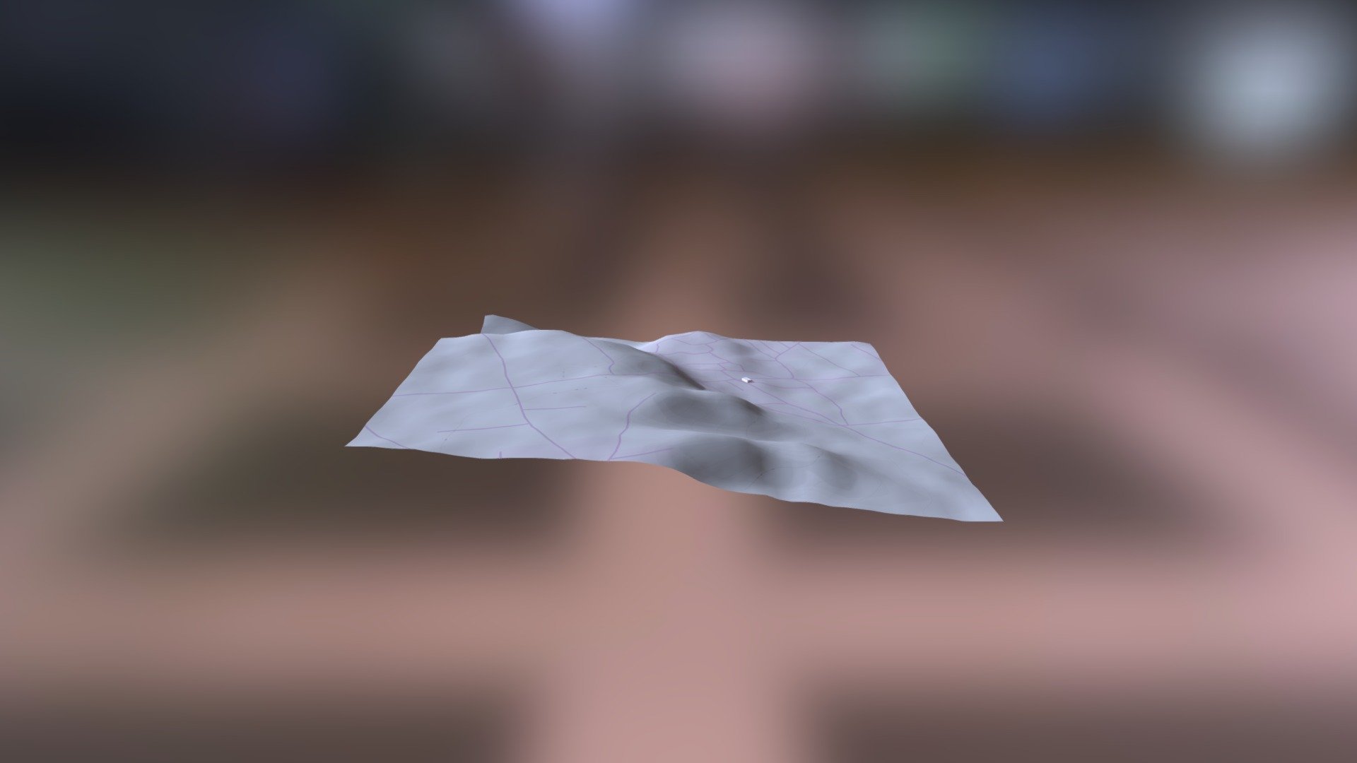
Mythical landscapes unfold across the ancient realms of Greece, meticulously mapped by Helladic.info in a monumental endeavor known as the Myceanean Atlas Project. This pioneering initiative harnesses the power of cutting-edge technology to uncover hidden secrets beneath the surface, leveraging the DEM Net Elevation API to chart the topography with unparalleled precision. The NASADEM database provides a comprehensive elevation model, carefully calibrated to reveal the intricate contours of the land. Meanwhile, OpenStreetMap and its dedicated contributors, www.openstreetmap.org, have generously shared their vast repository of geographic data, illuminating the paths of forgotten roads and hidden pathways. As we delve deeper into this rich tapestry, ThunderForest imagery provides a breathtaking backdrop, casting an ethereal glow over the majestic ruins that stand as testament to a bygone era.
With this file you will be able to print C951 Moulki with your 3D printer. Click on the button and save the file on your computer to work, edit or customize your design. You can also find more 3D designs for printers on C951 Moulki.