C6277 Moni Odiyitria B
sketchfab
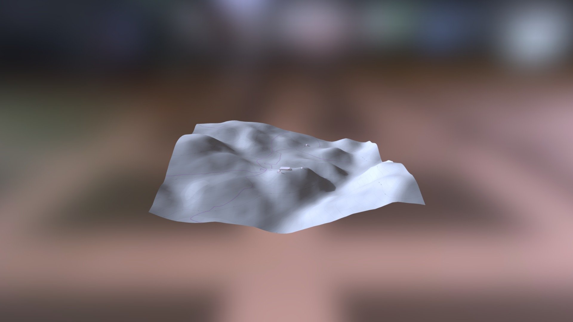
The Helladic.info link points to a wealth of information on the Mycenaean Atlas Project, which utilizes data from the DEM (Digital Elevation Model) Net Elevation API. The elevation data itself is sourced from NASA's NASADEM dataset, providing a high-resolution representation of the terrain. Additionally, OpenStreetMap and its contributors at www.openstreetmap.org have contributed valuable mapping data to the project, while imagery is provided by ThunderForest.
Download Model from sketchfab
With this file you will be able to print C6277 Moni Odiyitria B with your 3D printer. Click on the button and save the file on your computer to work, edit or customize your design. You can also find more 3D designs for printers on C6277 Moni Odiyitria B.