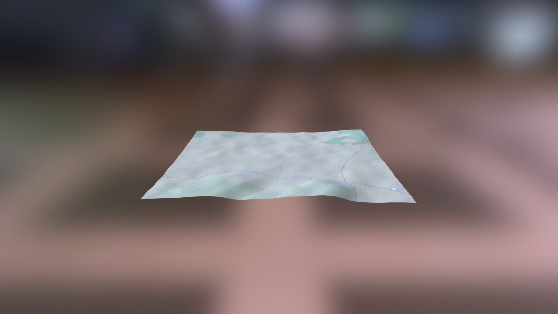
C6145 Karaǧaç Tepe
sketchfab
The Helladic.info link leads to the Mycenaean Atlas Project, a comprehensive online resource that harnesses the power of the DEM Net Elevation API. This cutting-edge technology leverages NASA's DEM (Digital Elevation Model) data to provide an in-depth look at the region. The project also incorporates valuable information from OpenStreetMap and its contributors, www.openstreetmap.org, allowing users to explore the area with greater precision. In addition, high-resolution imagery is provided courtesy of ThunderForest, further enhancing the user experience.
With this file you will be able to print C6145 Karaǧaç Tepe with your 3D printer. Click on the button and save the file on your computer to work, edit or customize your design. You can also find more 3D designs for printers on C6145 Karaǧaç Tepe.
