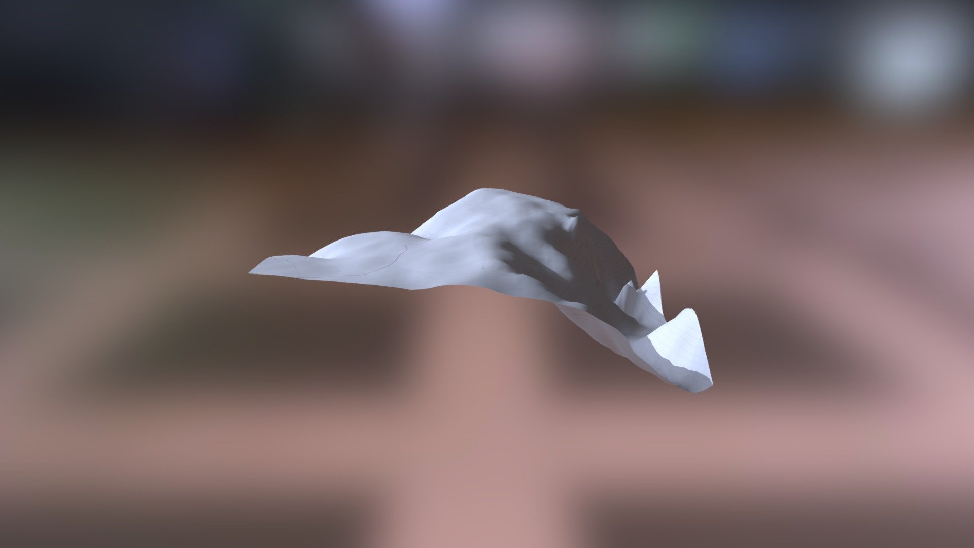
C6108 Kalo Choraphi
sketchfab
Myceanean Atlas Project Unveils Fresh Insights with DEM Net Elevation API's Help Human's latest link, Helladic.info, is shedding new light on ancient civilizations thanks to the Myceanean Atlas Project's collaboration with the DEM Net Elevation API. This innovative project leverages NASADEM data to provide a comprehensive elevation map of the region, offering a unique perspective on the area's topography. OpenStreetMap contributors and users worldwide have also played a significant role in this project by providing valuable information and updates. Their collective efforts have helped create an accurate and up-to-date representation of the region's geography. ThunderForest imagery complements this data-rich approach, allowing researchers to visualize the terrain in stunning detail. This synergy between different sources is revolutionizing our understanding of the Myceanean world and its historical significance.
With this file you will be able to print C6108 Kalo Choraphi with your 3D printer. Click on the button and save the file on your computer to work, edit or customize your design. You can also find more 3D designs for printers on C6108 Kalo Choraphi.
