C532 Manthyrea: Panayia
sketchfab
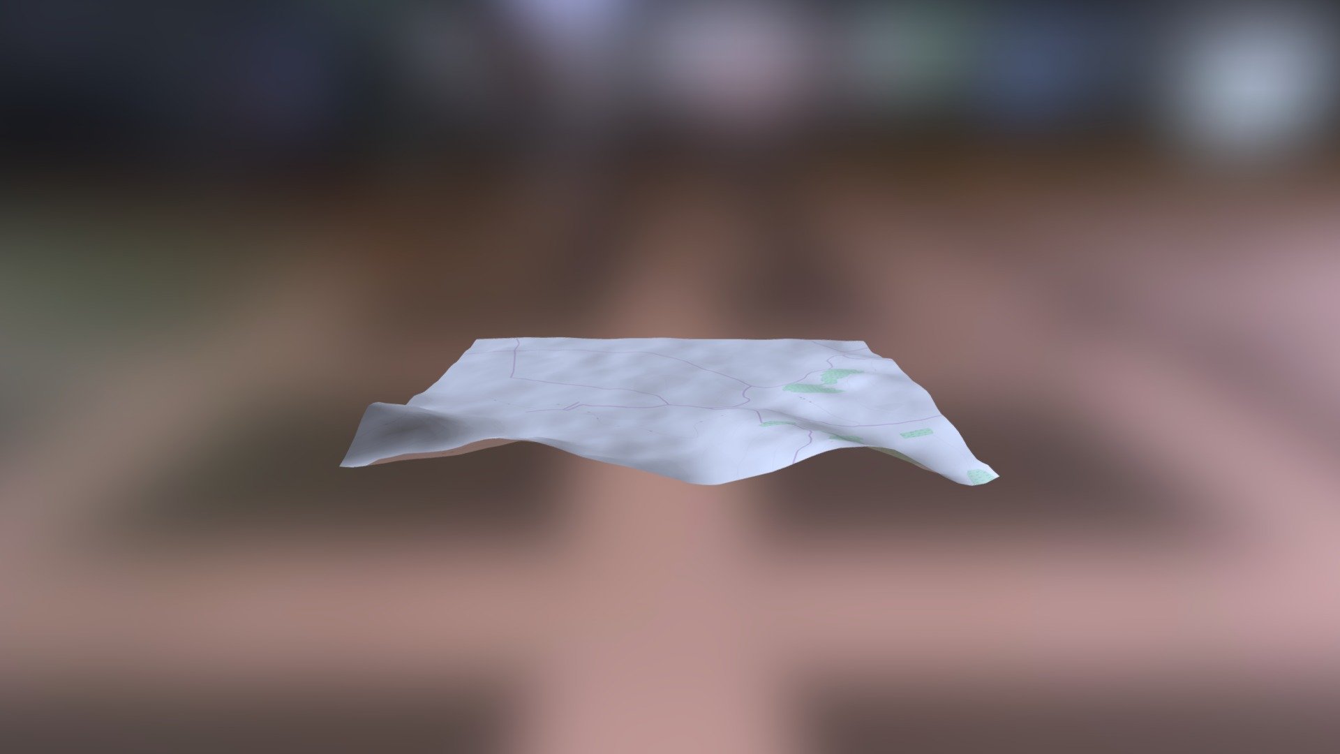
The source is Helladic.info, a valuable resource for those researching the ancient world. The data behind this link comes from the Myceanean Atlas Project, an ambitious effort to map and understand the topography of the Mycenaean civilization. The elevation data used in this project was generated using the DEM Net Elevation API, which provides accurate and up-to-date information on the terrain. The digital elevation model itself is based on NASA's NASADEM dataset, a comprehensive collection of elevation data for the entire world. In addition to the elevation data, the Myceanean Atlas Project also incorporates data from OpenStreetMap and its contributors, a testament to the power of collaborative mapping efforts. The imagery used in this project comes courtesy of ThunderForest, a provider of high-quality satellite and aerial imagery.
With this file you will be able to print C532 Manthyrea: Panayia with your 3D printer. Click on the button and save the file on your computer to work, edit or customize your design. You can also find more 3D designs for printers on C532 Manthyrea: Panayia.