C5003 Kryoneri: Kato Bathiza 1
sketchfab
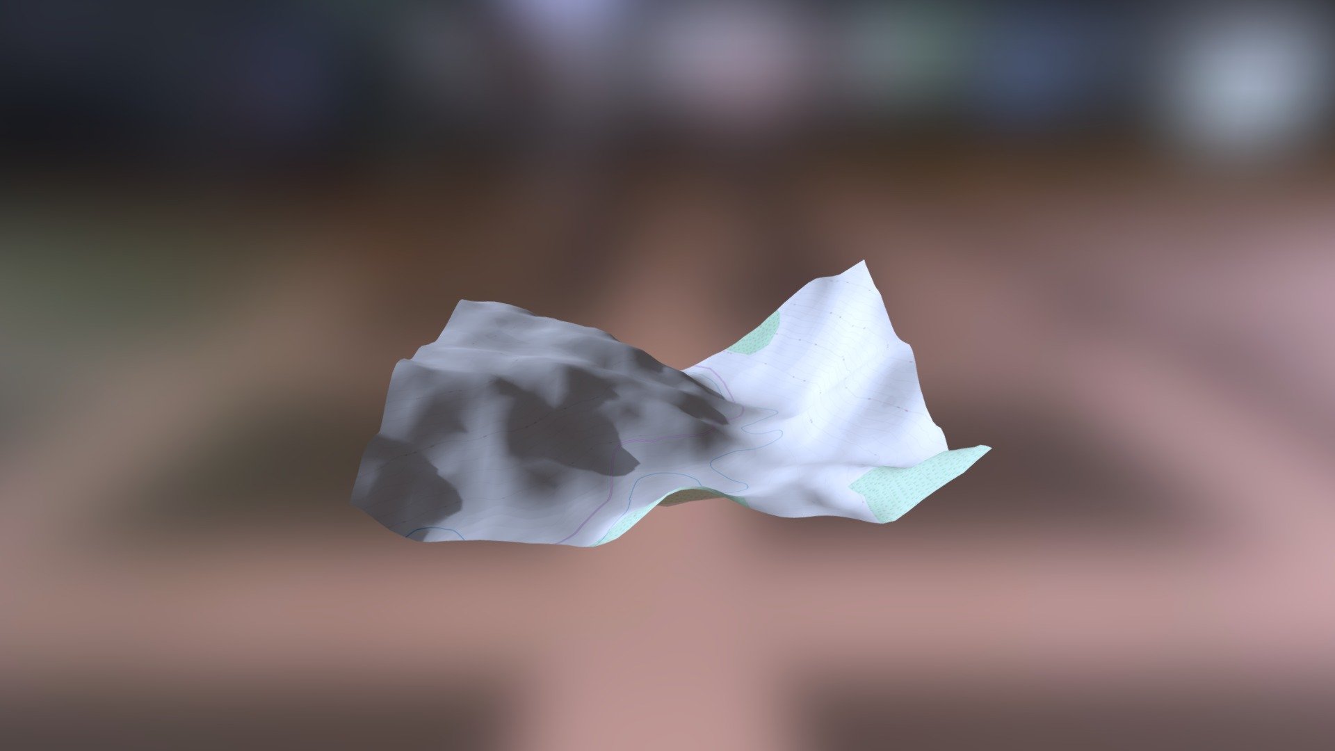
Here's a rewritten version of the text: "Empire Maps - Helladic.info Link Source Data: Myceanean Atlas Project Digital Terrain Model: DEM Net Elevation API Elevation Data: NASA's Global Elevation Model (NASADEM) Base Map Data: OpenStreetMap contributors, openstreetmap.org Imagery Style: ThunderForest Stylized Maps"
Download Model from sketchfab
With this file you will be able to print C5003 Kryoneri: Kato Bathiza 1 with your 3D printer. Click on the button and save the file on your computer to work, edit or customize your design. You can also find more 3D designs for printers on C5003 Kryoneri: Kato Bathiza 1.