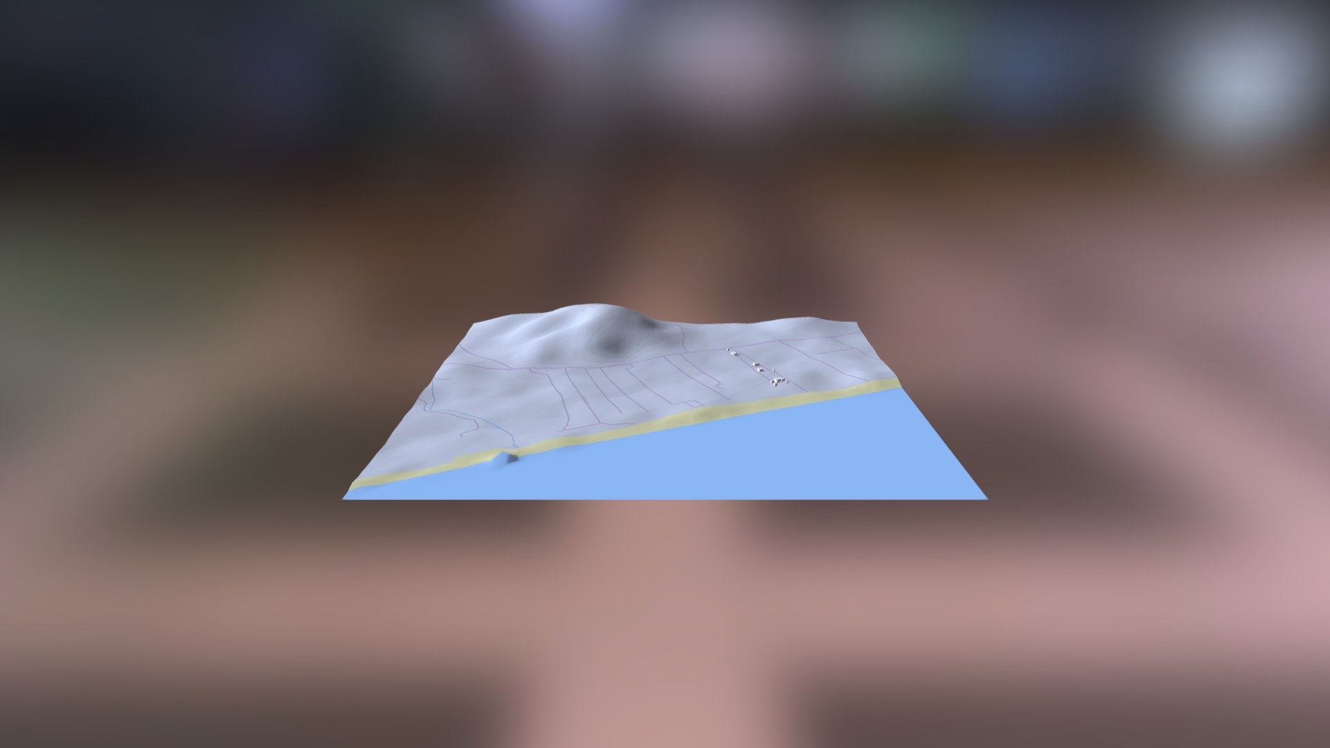
C1933 Mavrovouni: Mound
sketchfab
The link to explore ancient civilizations is helladic.info. The source of this wealth of information is the Mycenaean Atlas Project, a treasure trove of data that brings history to life. The elevation data was generated using the DEM Net Elevation API, providing a precise topographical map of the region. This data is derived from NASA's Digital Elevation Model (DEM), a cutting-edge technology that has revolutionized our understanding of the earth's surface. Additional details are provided by OpenStreetMap and its contributors, a community-driven project that continues to grow and evolve. The imagery used to visualize this data comes from ThunderForest, a platform that offers a stunning array of maps and tiles to help bring your projects to life.
With this file you will be able to print C1933 Mavrovouni: Mound with your 3D printer. Click on the button and save the file on your computer to work, edit or customize your design. You can also find more 3D designs for printers on C1933 Mavrovouni: Mound.