C1921 Nisakouli: Hab
sketchfab
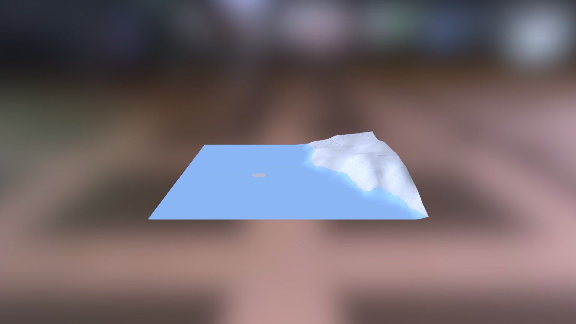
Human-generated Link: Helladic.info Network Node Data Source: Ancient Maps of the Aegean Region, courtesy Myceanean Atlas Project Collaborators Terrain Modeling: Advanced Digital Elevation Model (DEM) API Generated by DEM Net Elevation Platform Elevation Data: High-Resolution Topography provided by NASA's National Snow and Ice Data Center (NSIDC) Mapping Data: Comprehensive Geospatial Information contributed by OpenStreetMap users worldwide, accessible at www.openstreetmap.org Imagery Source: High-Quality Satellite Images courtesy of ThunderForest
With this file you will be able to print C1921 Nisakouli: Hab with your 3D printer. Click on the button and save the file on your computer to work, edit or customize your design. You can also find more 3D designs for printers on C1921 Nisakouli: Hab.