C1857 Agora: Tomb: A.18:4
sketchfab
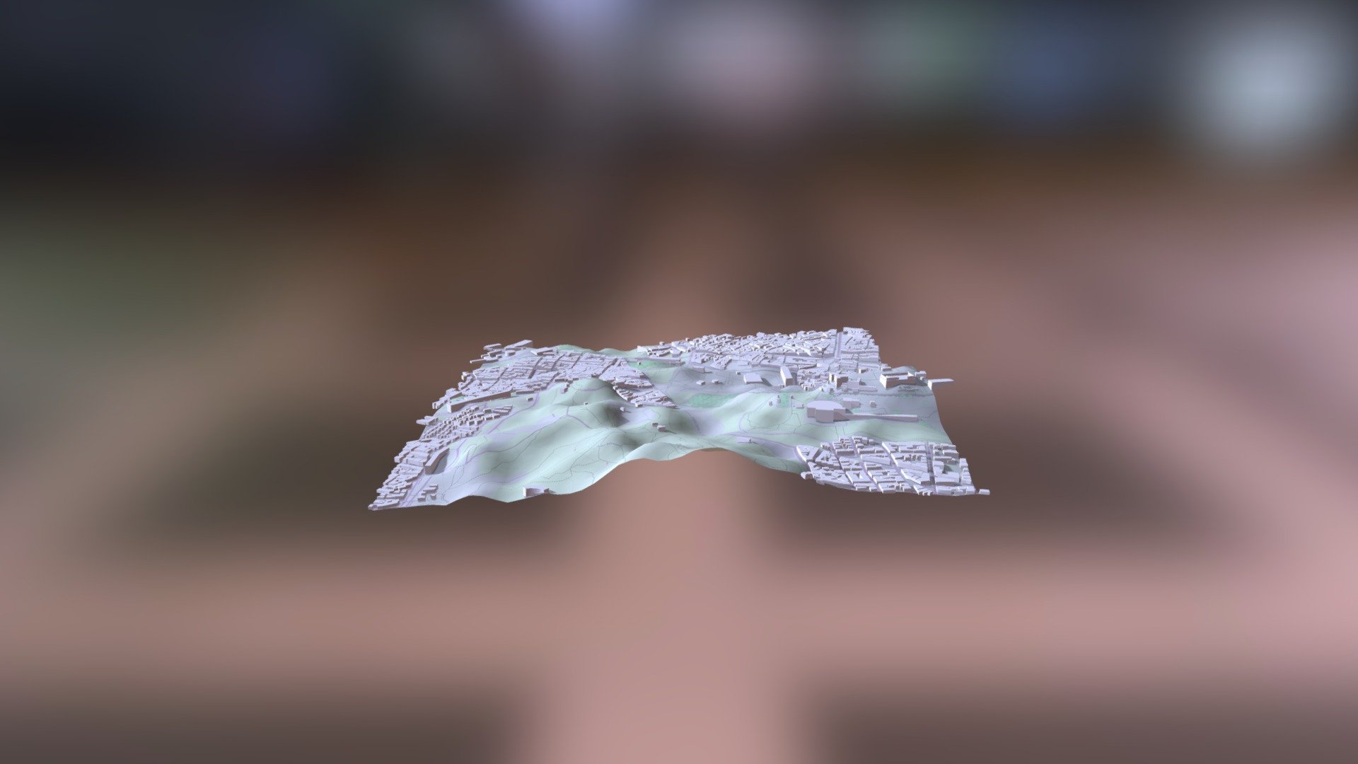
The Myceanean Atlas Project utilizes the DEM Net Elevation API to retrieve data from NASADEM, a highly accurate digital elevation model. This project also incorporates mapping data provided by OpenStreetMap contributors at openstreetmap.org, ensuring that geographical information is up-to-date and reliable. Additionally, it leverages ThunderForest imagery for visual representation.
Download Model from sketchfab
With this file you will be able to print C1857 Agora: Tomb: A.18:4 with your 3D printer. Click on the button and save the file on your computer to work, edit or customize your design. You can also find more 3D designs for printers on C1857 Agora: Tomb: A.18:4.