C172 Kamari: Mesovouni
sketchfab
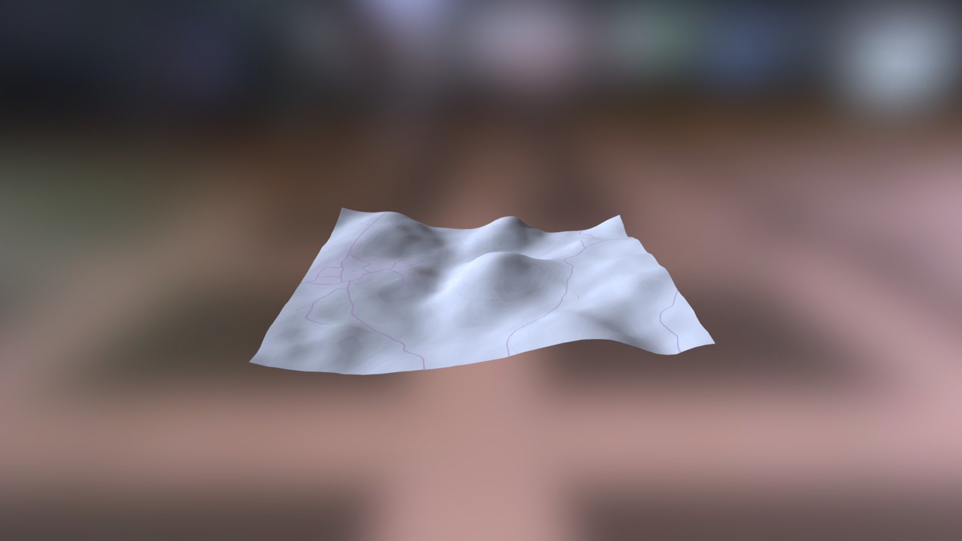
Ancient Greek Empire Map Source helladic.info Link Data Mycenae Atlas Project Developed with DEM Net Elevation API Using elevation data from NASA's National Snow and Ice Data Center NASADEM OpenStreetMap contributors www.openstreetmap.org Cartography and imagery by ThunderForest
Download Model from sketchfab
With this file you will be able to print C172 Kamari: Mesovouni with your 3D printer. Click on the button and save the file on your computer to work, edit or customize your design. You can also find more 3D designs for printers on C172 Kamari: Mesovouni.