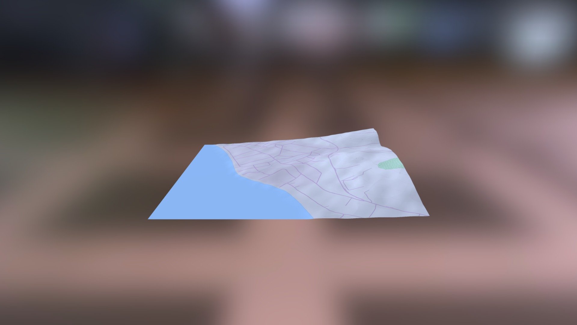
C1245 Rovies: Frankish Tower
sketchfab
Ancient Civilizations Unveiled Through Helladic.info Link Groundbreaking research is underway, thanks in part to the invaluable contributions of the Myceanean Atlas Project. This pioneering initiative has harnessed the power of advanced technologies, including DEM Net Elevation API, to unlock new insights into our understanding of ancient civilizations. The data employed by this project is sourced from a variety of authoritative sources, with NASADEM providing critical elevation information that adds depth and context to the research. Furthermore, OpenStreetMap and its contributors have generously shared their valuable data at www.openstreetmap.org, facilitating a more comprehensive understanding of the region. To visualize the landscape and pinpoint key locations, high-resolution imagery from ThunderForest has been skillfully integrated into the project, providing researchers with a rich tapestry of information to explore.
With this file you will be able to print C1245 Rovies: Frankish Tower with your 3D printer. Click on the button and save the file on your computer to work, edit or customize your design. You can also find more 3D designs for printers on C1245 Rovies: Frankish Tower.
