C1174 Naxos: Rizokastella
sketchfab
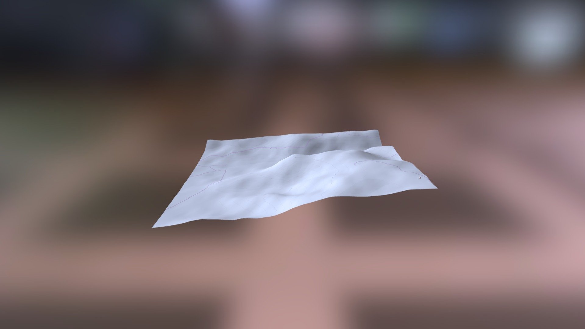
The Human Exploration of Ancient Greece Takes Shape with Helladic.info's Innovative Approach Utilizing the Myceanean Atlas Project, a comprehensive digital map of ancient Greek civilization is now within reach. This groundbreaking endeavor leverages the DEM Net Elevation API to create a three-dimensional representation of the region's topography. The NASADEM dataset serves as the foundation for this undertaking, providing highly accurate elevation data that enables researchers and enthusiasts alike to visualize the landscape with unparalleled precision. In collaboration with OpenStreetMap and its contributors at www.openstreetmap.org, Helladic.info has access to an extensive database of geographical information, further enriching their digital atlas. This partnership allows for the integration of diverse data sources, resulting in a rich tapestry of knowledge about ancient Greece's geography and history. Imagery from ThunderForest enhances the visual appeal of the Myceanean Atlas Project, providing a stunning backdrop against which to explore the region's cultural and archaeological significance. With Helladic.info at the forefront of this initiative, the study of ancient Greek civilization has entered a new era of sophistication and accessibility.
With this file you will be able to print C1174 Naxos: Rizokastella with your 3D printer. Click on the button and save the file on your computer to work, edit or customize your design. You can also find more 3D designs for printers on C1174 Naxos: Rizokastella.