C.I. Sophia Farms IR Band
sketchfab
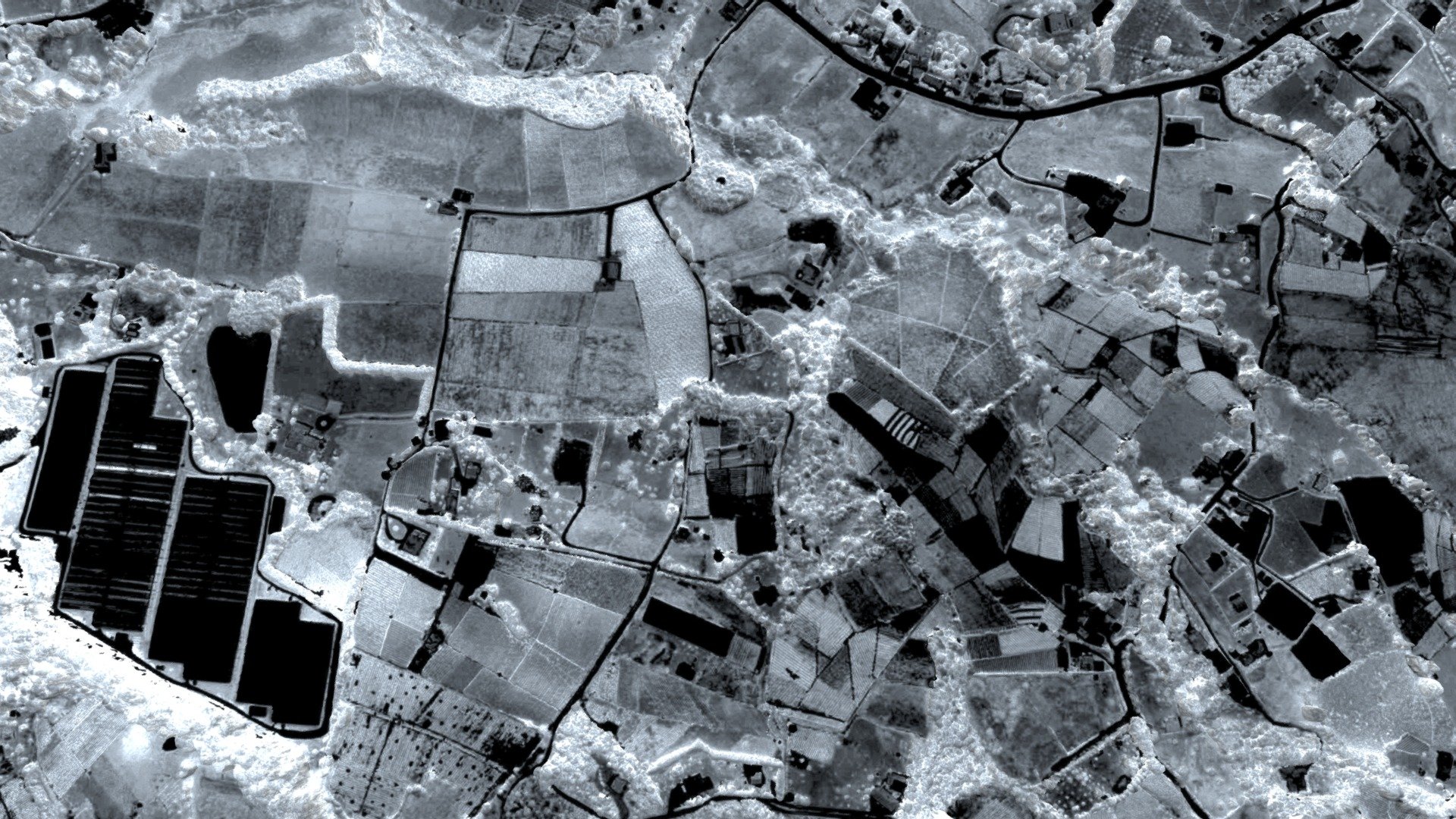
Flyingworks offers precise aerial information. The target area is situated near El Carmen De Viboral, in the Northern Colombian Andes of South America. This application focuses on precision agriculture, using an IR band model. The aircraft navigated over a one square kilometer space and captured 720 images during flight. At an altitude of 140 meters AGL / 2290 meters AMSL, the wind averaged six meters per second from the east, lasting for 50 minutes in total. High-realism 3D-VR model available upon request.
With this file you will be able to print C.I. Sophia Farms IR Band with your 3D printer. Click on the button and save the file on your computer to work, edit or customize your design. You can also find more 3D designs for printers on C.I. Sophia Farms IR Band.