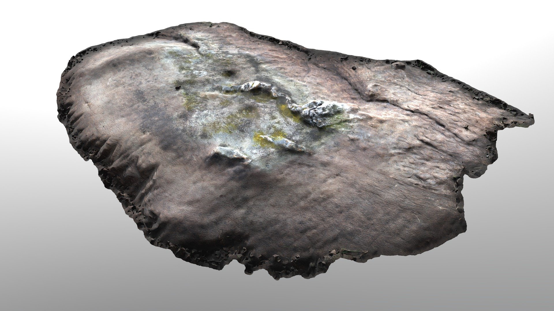
Bute, Glenvoidean 12
sketchfab
The cluster of cupmarked stones/rocks makes up part of a small panel on the gently sloping hillside of Glenvoidean, Isle of Bute. This area is used for rough grazing and is located about 80m to the west of a chambered cairn (Canmore ID 39897). The panel lies roughly 12M southeast of an overhead power line, with panoramic views west-southwest across the West Kyle towards Kames village and further south towards Ardlamont Point and Inchmarnock. Glenvoidean is accessible via a rough track from Glecknabae, about 2.5 kilometers to the south.
With this file you will be able to print Bute, Glenvoidean 12 with your 3D printer. Click on the button and save the file on your computer to work, edit or customize your design. You can also find more 3D designs for printers on Bute, Glenvoidean 12.
