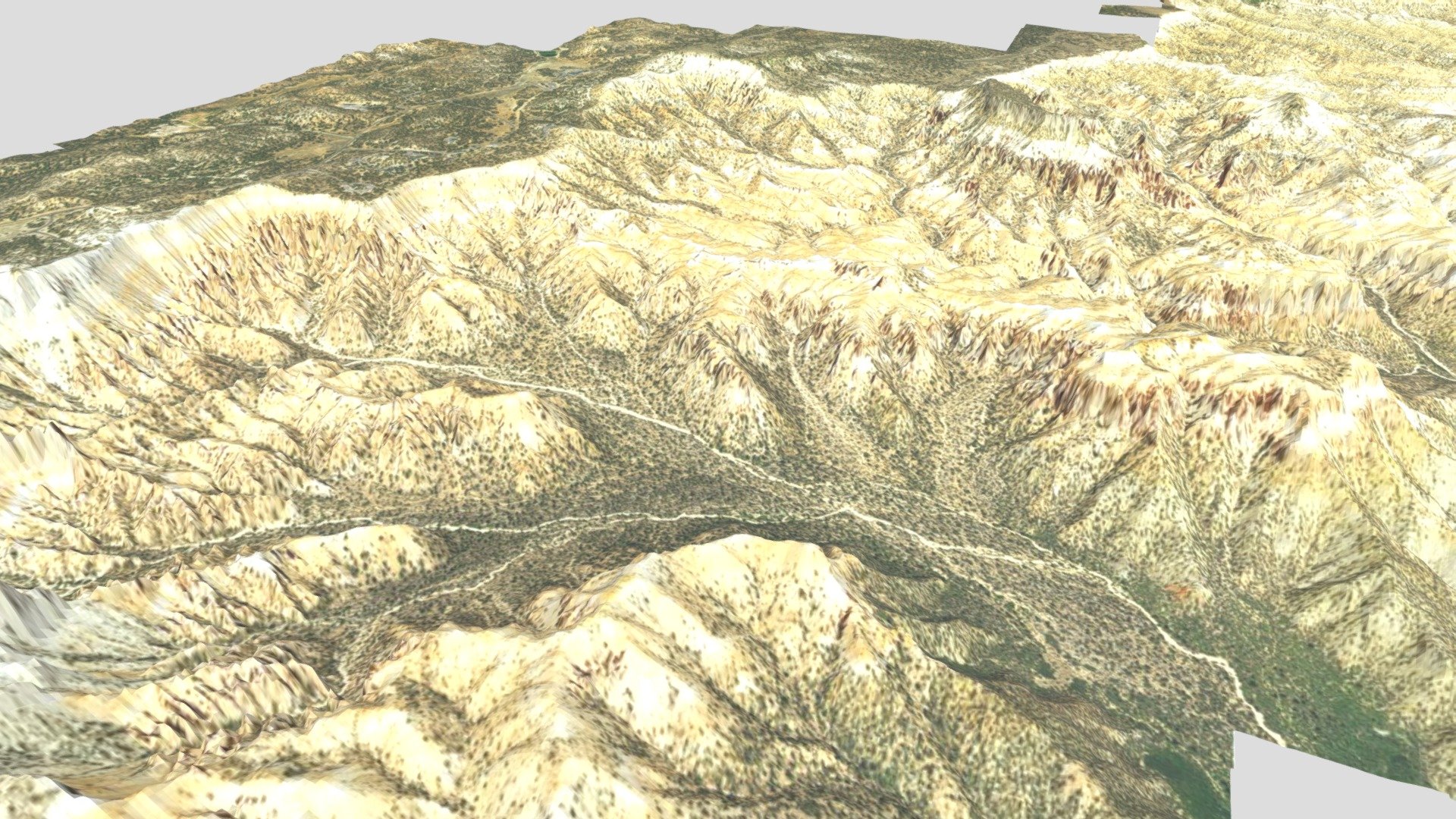
Bryce Canyon National Park Map - Aerial
sketchfab
Humans observe a LiDAR surface model carefully cut to fit within 'Bryce Canyon National Park'. The 2018 aerial images are smoothly blended onto this surface.
Download Model from sketchfab
With this file you will be able to print Bryce Canyon National Park Map - Aerial with your 3D printer. Click on the button and save the file on your computer to work, edit or customize your design. You can also find more 3D designs for printers on Bryce Canyon National Park Map - Aerial.