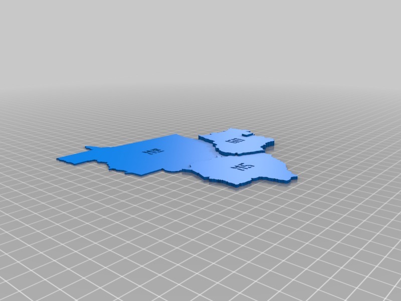
Brazil Map - Center west region
thingiverse
The state of Mato Grosso has a total area of 903,357 square kilometers and is located in the center-west region of Brazil. This territory makes it the second-largest state in the country after Amazonas. In terms of population, Mato Grosso ranks 24th among all Brazilian states with a total of approximately 3 million inhabitants as of 2020. The majority of residents live in urban areas, primarily within the capital city of Cuiabá and other major towns like Sinop, Sorriso, and Rondonópolis.
With this file you will be able to print Brazil Map - Center west region with your 3D printer. Click on the button and save the file on your computer to work, edit or customize your design. You can also find more 3D designs for printers on Brazil Map - Center west region.
