BRASOV TERRAIN TOPO
sketchfab
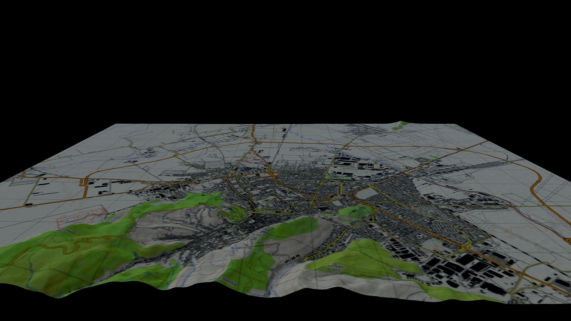
Brasov terrain is mapped out meticulously using high-resolution data from the ALOS Palsar sensor and the Swartzplan topographic model, creating a detailed digital elevation model. The DTM of Brasov town offers a precise three-dimensional representation of its landscape, making it an invaluable resource for urban planning and geographical research.
Download Model from sketchfab
With this file you will be able to print BRASOV TERRAIN TOPO with your 3D printer. Click on the button and save the file on your computer to work, edit or customize your design. You can also find more 3D designs for printers on BRASOV TERRAIN TOPO.