Boundary Stone (2013)
sketchfab
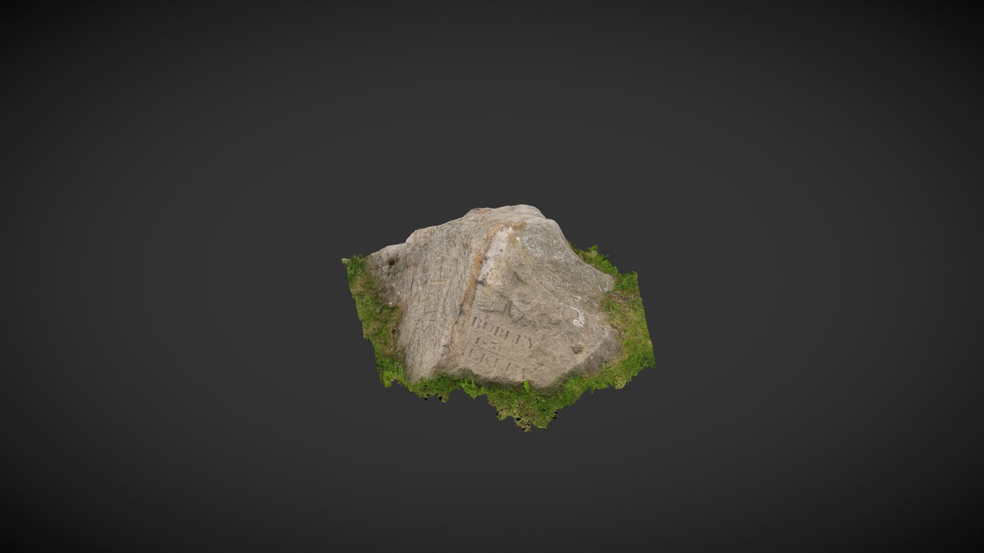
This boundary stone sits approximately one meter south of Hangingstone Road, roughly 730 meters southeast of the iconic 'Cow & Calf' beauty spot on Ilkley Moor in West Yorkshire. The stone is marked on early Ordnance Survey maps and appears to divide Ilkley Moor (to the west) from Burley Moor (to the east). On its eastern side lies a single, cup-like artificial depression that may be a prehistoric marking. This was first noted by Paul Bowers and subsequently recorded by the CSI: Rombalds Moor Project as 'Hangingstone Road 01' on England's Rock Art database at http://archaeologydataservice.ac.uk/era/section/panel/overview.jsf?eraId=2632 The north side (and roadside) of the stone bears the inscriptions 'Ilkley' and 'Burley,' along with a date that is either 1836 or 1856. Graffiti has been carved on other parts of the stone. This model was created in 2013 from forty images captured using a ten-megapixel Canon Powershot A640 camera, employing a SfM approach. The survey was conducted as part of the CSI: Rombalds Moor Project.
With this file you will be able to print Boundary Stone (2013) with your 3D printer. Click on the button and save the file on your computer to work, edit or customize your design. You can also find more 3D designs for printers on Boundary Stone (2013).