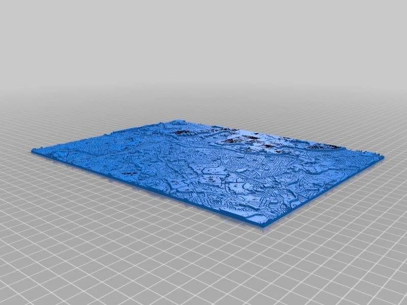
Boston map
thingiverse
The City's Contours Revealed: A Detailed Atlas of Boston's Terrain Boston's geography is a complex tapestry woven from diverse elements, each contributing to its unique character. The city's topography, a blend of land and sea, has played a pivotal role in shaping the lives of its inhabitants throughout history. Located on the eastern seaboard, Boston's terrain stretches approximately 48 square miles along the shores of Massachusetts Bay. The city's elevation varies significantly, with some areas situated as high as 230 feet above sea level and others lying mere feet above the waterline. Boston's topographical landscape is marked by several distinct features, each influencing local climate conditions and daily life. Neighborhoods such as Beacon Hill, known for its charming brick streets and gaslit alleys, lie nestled within Boston's hilly terrain.
With this file you will be able to print Boston map with your 3D printer. Click on the button and save the file on your computer to work, edit or customize your design. You can also find more 3D designs for printers on Boston map.
