Billinge Hill 3D map
thingiverse
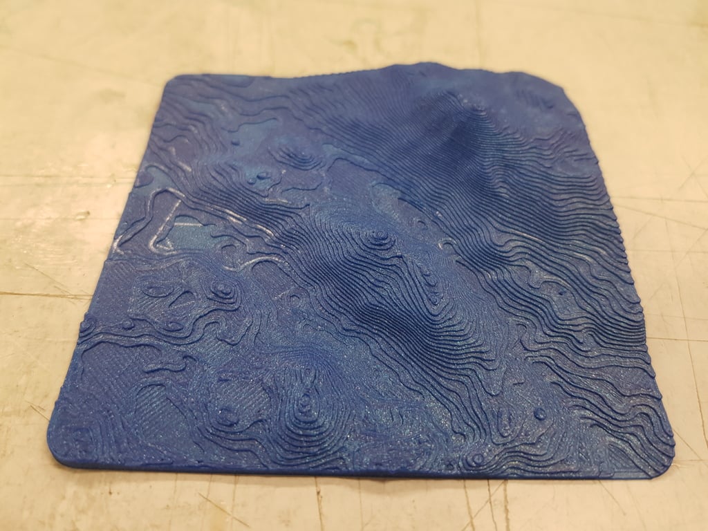
This is a detailed, 3D visualization of Billinge Hill, commonly referred to as Billinge Lump, along with its surrounding terrain. As the highest elevation in the Metropolitan Borough of St Helens within North West England, Billinge Hill holds the distinction of being the highest point in this region. Additionally, it serves as the highest peak in Merseyside.
Download Model from thingiverse
With this file you will be able to print Billinge Hill 3D map with your 3D printer. Click on the button and save the file on your computer to work, edit or customize your design. You can also find more 3D designs for printers on Billinge Hill 3D map.