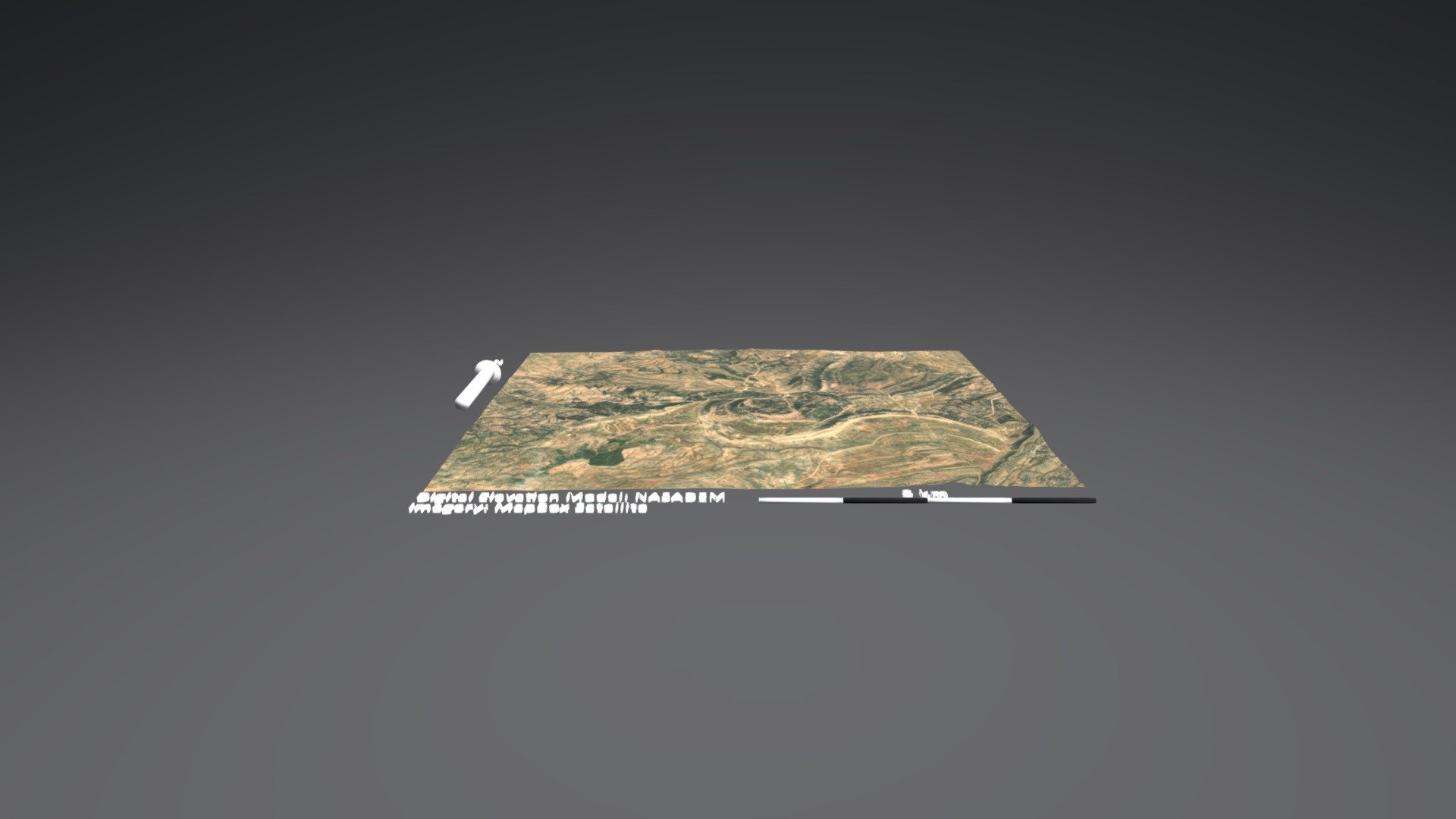
Beni Yagoub
sketchfab
US Geological Survey (USGS) Terrain Mapping System: DEM Net Elevation API Topographic Data Model: NASA Digital Elevation Model (NASADEM) Satellite Imagery Source: Mapbox Satellite Tiles
Download Model from sketchfab
With this file you will be able to print Beni Yagoub with your 3D printer. Click on the button and save the file on your computer to work, edit or customize your design. You can also find more 3D designs for printers on Beni Yagoub.