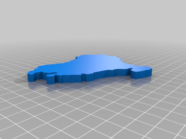
Basque Country map - Euskal Herriko mapa
thingiverse
Basque Country's Map. Basque Land's Mapping System is designed to help users navigate through this vast region located at the foot of the Pyrenees mountains between France and Spain. It encompasses various territories such as the three provinces that make up the autonomous community, and other surrounding regions that contribute to its rich cultural heritage.
Download Model from thingiverse
With this file you will be able to print Basque Country map - Euskal Herriko mapa with your 3D printer. Click on the button and save the file on your computer to work, edit or customize your design. You can also find more 3D designs for printers on Basque Country map - Euskal Herriko mapa.