Barningham Moor 83 (Oct 2006)
sketchfab
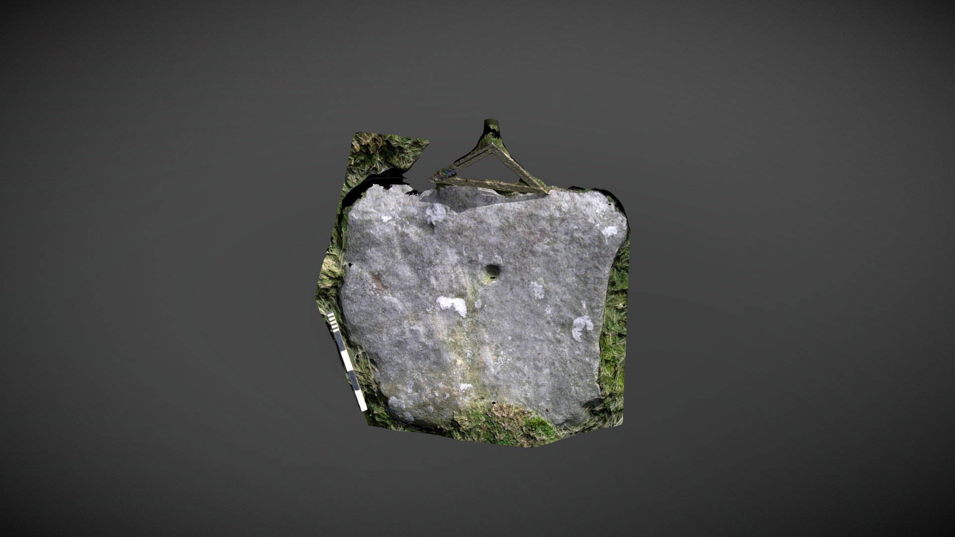
The stone is situated to the west of How Tallon ridge on Barningham Moor, County Durham. This massive block was initially documented on the county's Historic Environment Record. In 2008, NADRAP added it to ERA as 'Barningham Moor 82', noting: A flat square stone features a single cup just off center, with a diameter of 0.09m and a depth of 0.04m. The stone could have been quarried for this purpose. ERA Record: https://archaeologydataservice.ac.uk/era/section/panel/overview.jsf?eraId=885 Historic England area scheduling: https://historicengland.org.uk/listing/the-list/list-entry/1017441 A 3D model was created from two stereo pairs captured by the NADRAP Team 5 in October 2006. The imagery makes up part of the full NADRAP archive deposited with Historic England.
With this file you will be able to print Barningham Moor 83 (Oct 2006) with your 3D printer. Click on the button and save the file on your computer to work, edit or customize your design. You can also find more 3D designs for printers on Barningham Moor 83 (Oct 2006).