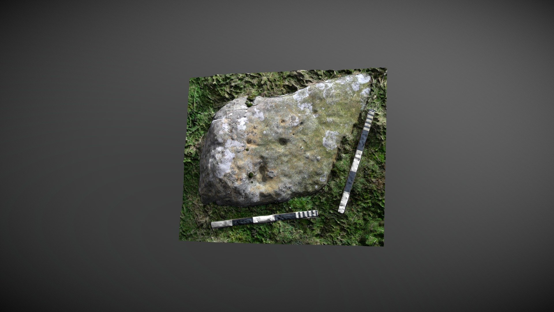
Barningham Moor 81 (Oct 2006)
sketchfab
The stone stands tall to the west of How Tallon ridge, situated on Barningham Moor within County Durham. Early explorers believed this stone was a fresh discovery during initial NADRAP surveys, but subsequent visits led the team to question its artificial origins. In 2008, the ERA still cataloged it as 'Barningham Moor 81' with the following details: The stone appears to have two distinct features: a single cup in its center and a 'T' shape near the south east corner. However, the surface is heavily pitted, featuring numerous small solution holes. A later visit concluded that these features were most likely the result of erosion due to their shape and the pitting. ERA Record: https://archaeologydataservice.ac.uk/era/section/panel/overview.jsf?eraId=883 Historic England's area scheduling can be found at: https://historicengland.org.uk/listing/the-list/list-entry/1017441 The 3D model was created from two stereo pairs captured by NADRAP Team 5 in October 2006. The images are part of the comprehensive NADRAP archive deposited with Historic England.
With this file you will be able to print Barningham Moor 81 (Oct 2006) with your 3D printer. Click on the button and save the file on your computer to work, edit or customize your design. You can also find more 3D designs for printers on Barningham Moor 81 (Oct 2006).
