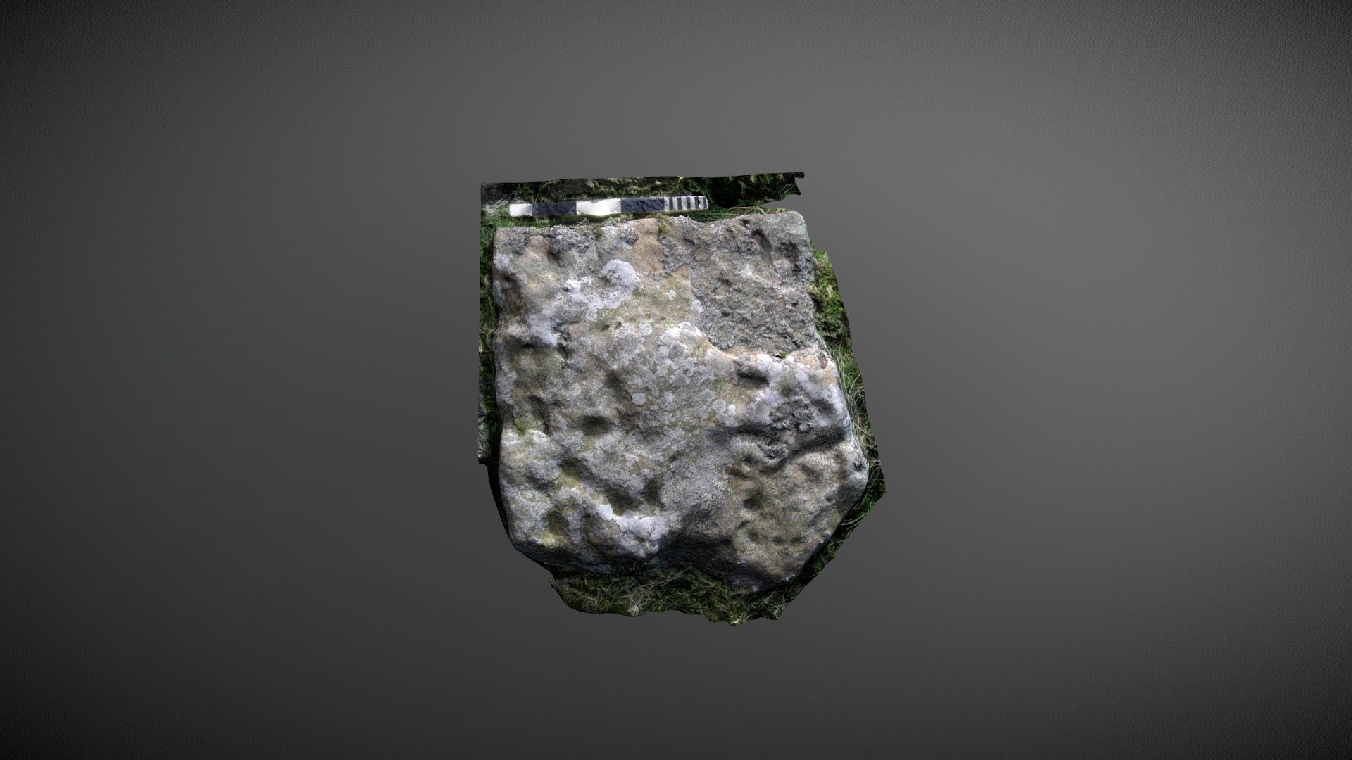
Barningham Moor 78 (Oct 2006)
sketchfab
Carved stone situated on Barningham Moor, County Durham, lies to the west of How Tallon ridge. This angular stone is nestled among a dense cluster of other carvings, all located west of the settlement area. It's referenced as 61 in Beckensall & Laurie's 1998 publication 'Prehistoric Rock Art of County Durham, Swaledale and Wensleydale', and was added to ERA by NADRAP as 'Barningham Moor 78' in 2008. Various cup-like depressions are scattered across its surface, with some appearing artificially created and others seeming entirely natural. View the ERA record at https://archaeologydataservice.ac.uk/era/section/panel/overview.jsf?eraId=880 or see Historic England's area scheduling at https://historicengland.org.uk/listing/the-list/list-entry/1017441. This model was created from 2 stereo pairs captured by NADRAP Team 5 in October 2006, and the imagery is part of the full NADRAP archive deposited with Historic England.
With this file you will be able to print Barningham Moor 78 (Oct 2006) with your 3D printer. Click on the button and save the file on your computer to work, edit or customize your design. You can also find more 3D designs for printers on Barningham Moor 78 (Oct 2006).
