Barningham Moor 68 (April 2007)
sketchfab
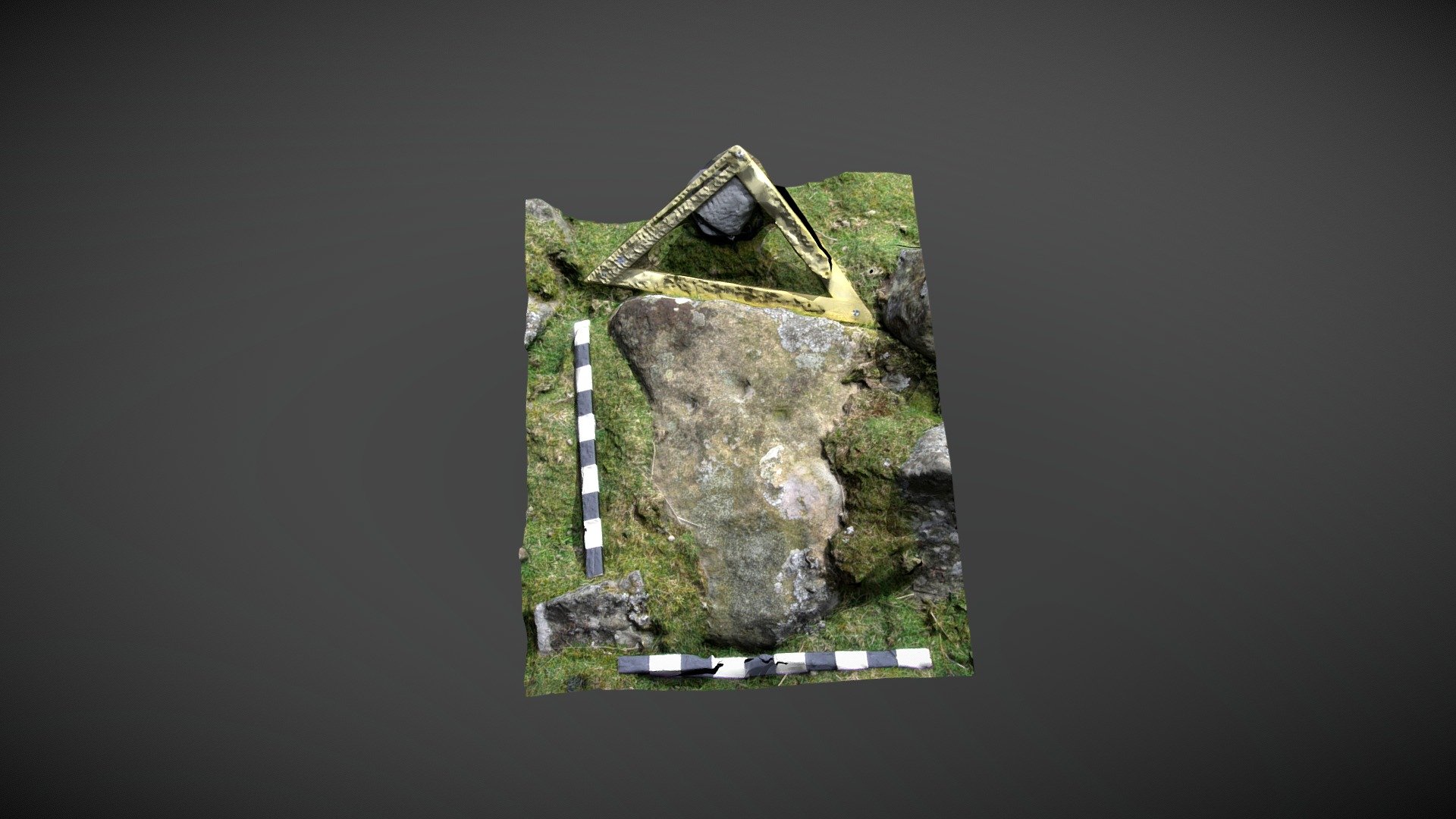
Located on lower slopes, north of the main settlement site below How Tallon ridge on Barningham Moor, County Durham, this stone is situated within a small sub-circular enclosure amidst a tumble of stones (a cairn?). Recorded as 'EC' in Beckensall & Laurie's 1998 publication "Prehistoric Rock Art of County Durham, Swaledale and Wensleydale," the NADRAP team referenced the stone as 'Barningham Moor 68' on ERA. They described it as follows: "Three cups form a triangle, all shallow and irregular. It is difficult to determine whether the cups are artificial or natural." Access the ERA record at https://archaeologydataservice.ac.uk/era/section/panel/overview.jsf?eraId=870 and view the Historic England area scheduling at https://historicengland.org.uk/listing/the-list/list-entry/1017441. The model was created from a single stereo pair captured by NADRAP Team 5 in April 2007, forming part of the ERA / NADRAP archive.
With this file you will be able to print Barningham Moor 68 (April 2007) with your 3D printer. Click on the button and save the file on your computer to work, edit or customize your design. You can also find more 3D designs for printers on Barningham Moor 68 (April 2007).