Barningham Moor 49 (Aug 2005)
sketchfab
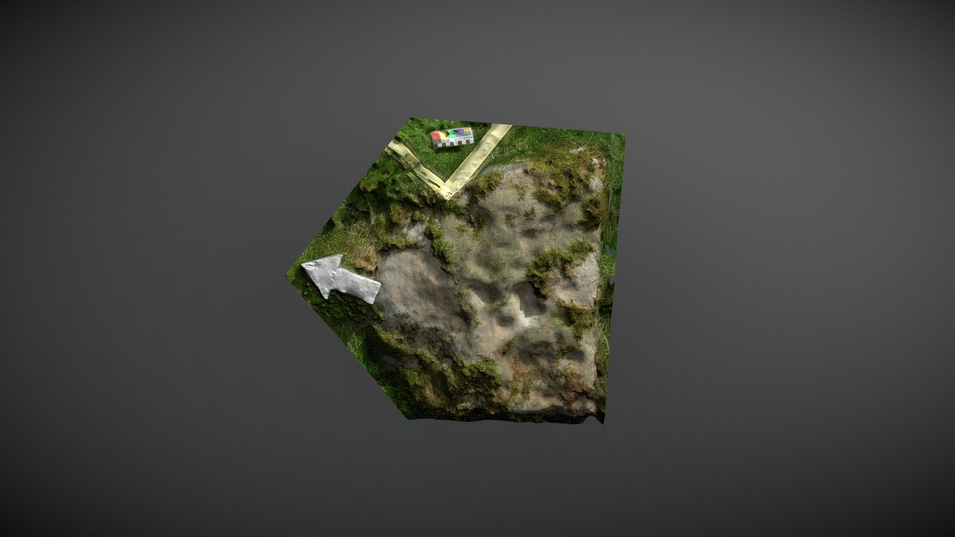
Ground-level stone found north of Eel Hill, on Barningham Moor, County Durham. This small squared stone was first noted during NADRAP surveys in 2005 when researchers were uncertain about its artificiality and natural causes for the 'cup-like' depressions. The recording team added it to ERA as 'Barningham Moor 49' with a cautionary note. This 3D model appears to show shallow depressions forming lines around three sides of central conjoined depressions, adding weight to arguments that the depression may be artificial. NADRAP Team 5 captured five stereo pairs in August 2005, which were used to create this model as part of the full NADRAP archive deposited with Historic England. The ERA record is available online at https://archaeologydataservice.ac.uk/era/section/panel/overview.jsf?eraId=848 and Historic England area scheduling can be viewed at https://historicengland.org.uk/listing/the-list/list-entry/1017439.
With this file you will be able to print Barningham Moor 49 (Aug 2005) with your 3D printer. Click on the button and save the file on your computer to work, edit or customize your design. You can also find more 3D designs for printers on Barningham Moor 49 (Aug 2005).