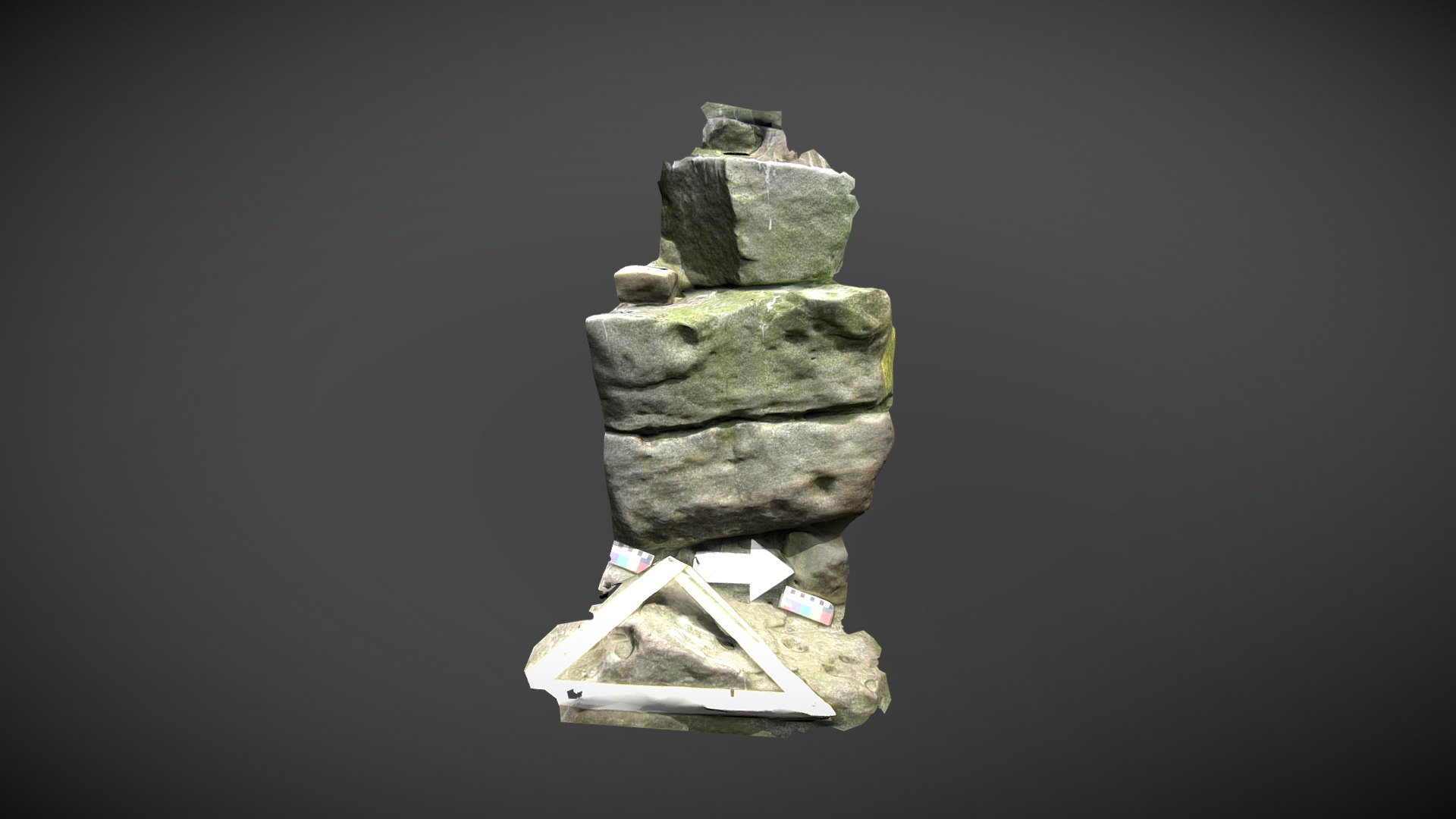
Barningham Moor 46 (Aug 2005)
sketchfab
Former stacked stones discovered north of Eel Hill on Barningham Moor in County Durham stood approximately 1.40 meters tall amidst an area teeming with carved rocks, cairns, and stretches of walling. By 2018, the stack had either toppled or been pushed over. Researchers first identified cup-like depressions on the eastern side during NADRAP surveys in 2005. Although they were skeptical about the structure's prehistoric origins, the team documented and added it to ERA as 'Barningham Moor 46'. The marked stones are likely now scattered around what was once the base. ERA Record: https://archaeologydataservice.ac.uk/era/section/panel/overview.jsf?eraId=845 Historic England Area Scheduling: https://historicengland.org.uk/listing/the-list/list-entry/1017439 The model was created from 3 stereo pairs captured by NADRAP Team 5 in August 2005. The imagery forms part of the full NADRAP archive deposited with Historic England.
With this file you will be able to print Barningham Moor 46 (Aug 2005) with your 3D printer. Click on the button and save the file on your computer to work, edit or customize your design. You can also find more 3D designs for printers on Barningham Moor 46 (Aug 2005).
