Barningham Moor 43 (March 2007)
sketchfab
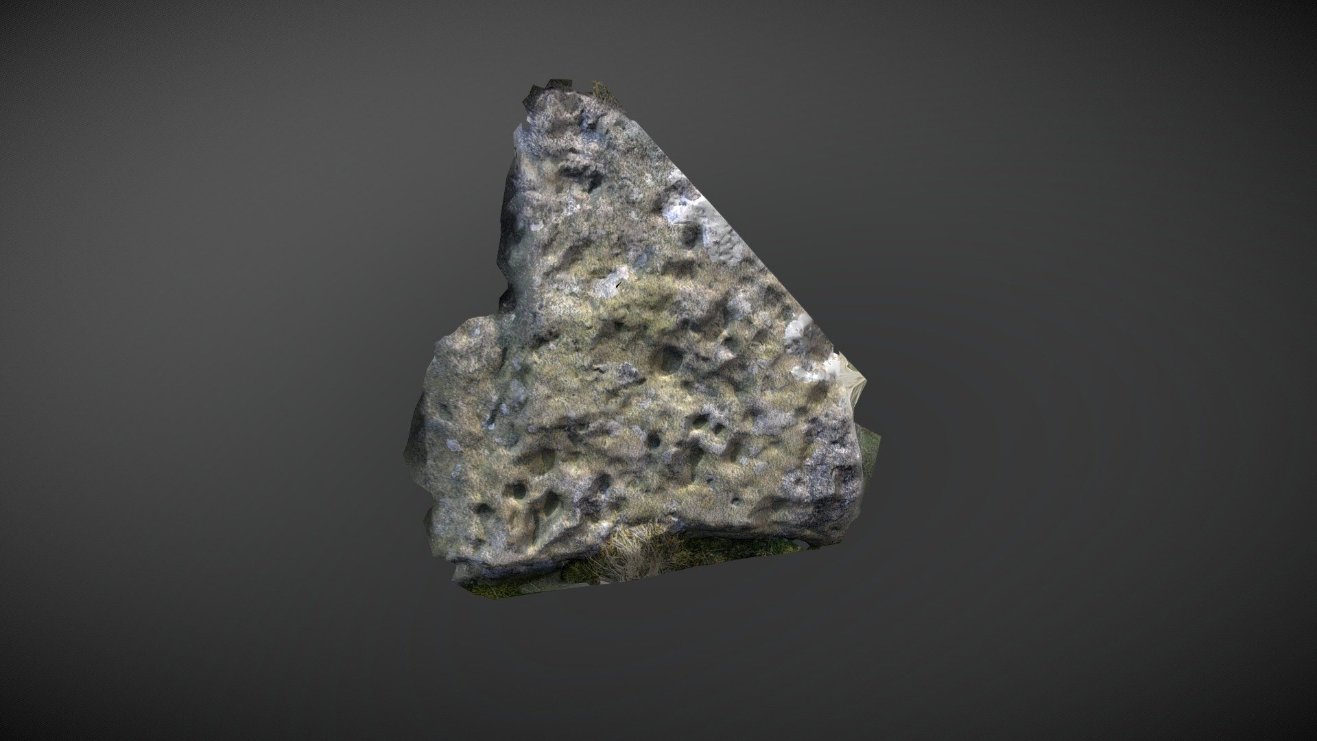
This stone resides among a sequence of sinkholes, situated just north of Eel Hill on Barningham Moor in County Durham.\nThe site seemed to be the most suitable location for an incorrect mapping reference within Beckensall & Laurie’s 1998 publication ‘Prehistoric Rock Art of County Durham, Swaledale and Wensleydale.' However, all of these depressions appeared to be naturally occurring. NADRAP Team 5 notes: "Ten depressions of varying size can be seen here; they are almost certainly natural. The stone's surface is pockmarked with numerous smaller cups (pitting) visible." Other stones bearing similar markings are located 8 meters north and south. ERA record: https://archaeologydataservice.ac.uk/era/section/panel/overview.jsf?eraId=842 This model was created from 5 images captured by NADRAP Team 5 in March 2007, which form part of the ERA / NADRAP archive.
With this file you will be able to print Barningham Moor 43 (March 2007) with your 3D printer. Click on the button and save the file on your computer to work, edit or customize your design. You can also find more 3D designs for printers on Barningham Moor 43 (March 2007).