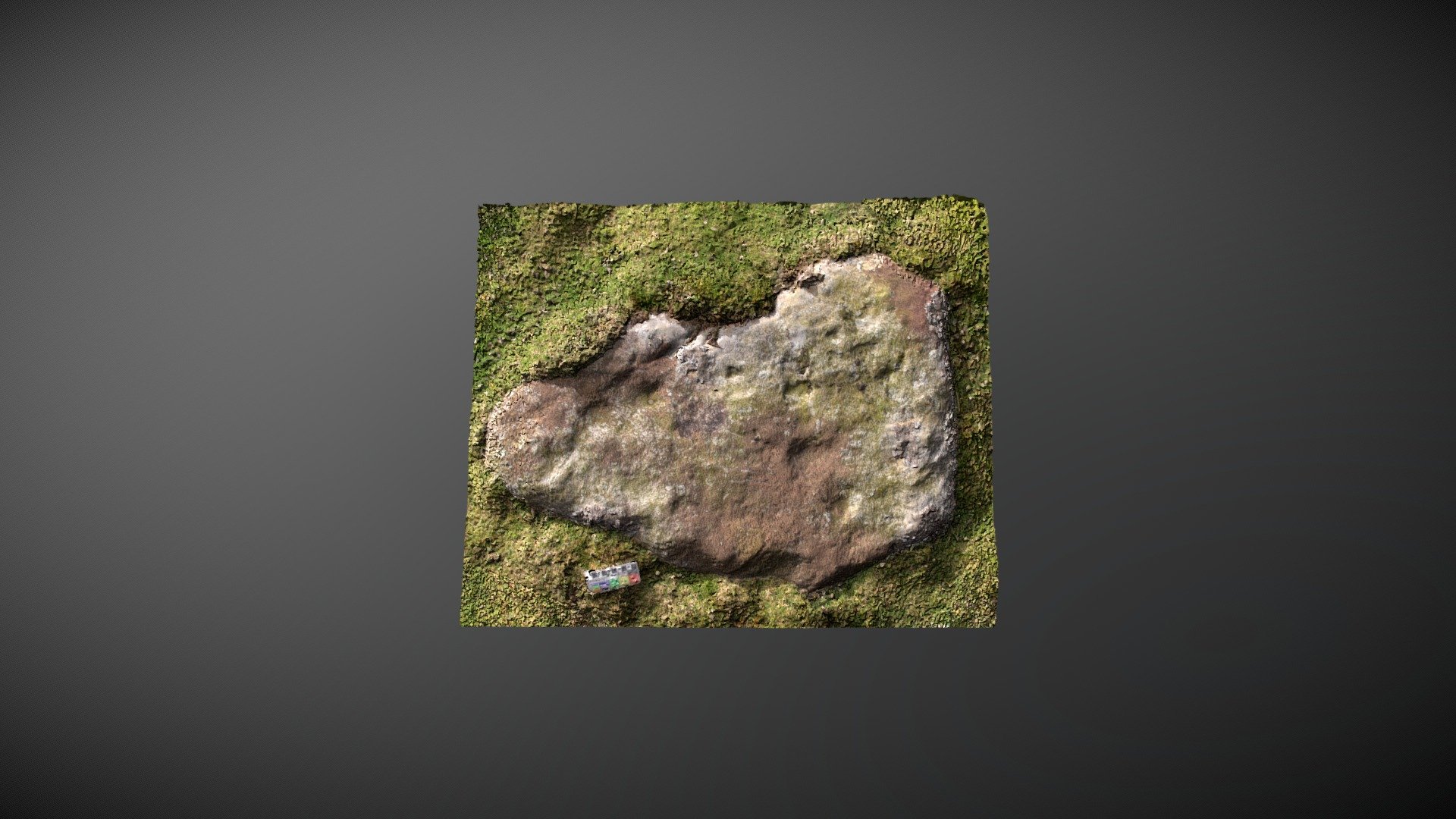
Barningham Moor 131 (Oct 2007)
sketchfab
Rectangular stone perches north of Eel Hill, on Barningham Moor, County Durham. Cited 42 times in Beckensall & Laurie's 1998 publication "Prehistoric Rock Art of County Durham, Swaledale and Wensleydale," it was logged as "Barningham Moor 131" by NADRAP and added to ERA in 2008. The NADRAP team describes: A flat stone on the peak of a knoll, set within a probable stone bank running south-east to north-west. Six rounded shallow depressions of varying size are scattered about the stone's surface. Two have cup-like profiles but whether they're extremely worn cup marks or just natural weathering is difficult to tell. Some depressions do feature typically cup-like shapes in this model. ERA record: https://archaeologydataservice.ac.uk/era/section/panel/overview.jsf?eraId=964 Historic England listing: https://historicengland.org.uk/listing/the-list/list-entry/1017439 Model created from 5 images captured by Richard Stroud in October 2007.
With this file you will be able to print Barningham Moor 131 (Oct 2007) with your 3D printer. Click on the button and save the file on your computer to work, edit or customize your design. You can also find more 3D designs for printers on Barningham Moor 131 (Oct 2007).
