Bangladesh Map
thingiverse
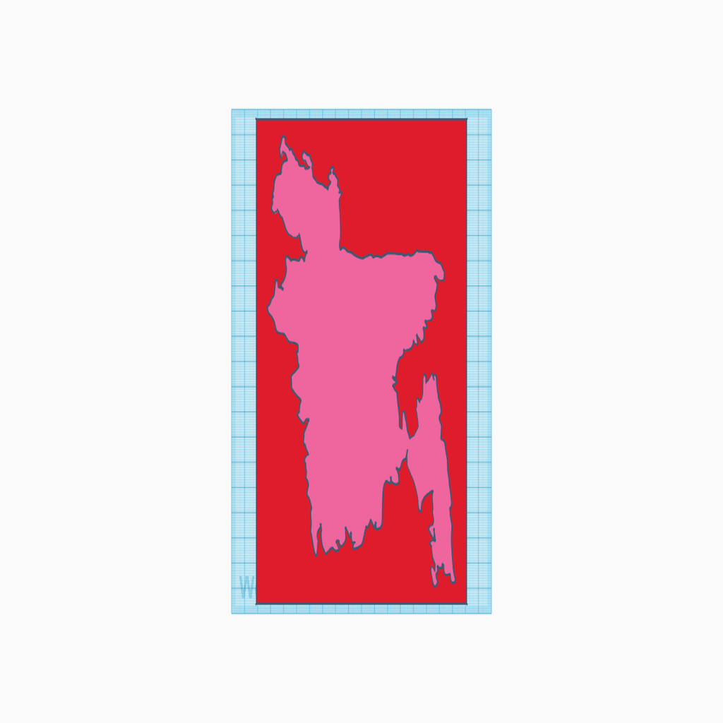
Bangladesh Map Design Created Using Tinkercad A 3D design project, this detailed Bangladesh map was built using the free online CAD platform Tinkercad. The interactive version of this map can be edited directly on the website by clicking the provided link: https://www.tinkercad.com/things/22G7XxTKti3
Download Model from thingiverse
With this file you will be able to print Bangladesh Map with your 3D printer. Click on the button and save the file on your computer to work, edit or customize your design. You can also find more 3D designs for printers on Bangladesh Map.