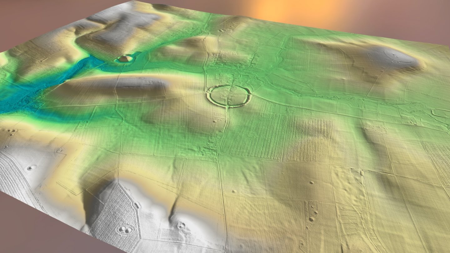
Avebury & Silbury Hill LiDAR Archaeology
sketchfab
This is a 3D landscape view of the Avebury and Silbury Hill area featuring multiple archaeological sites highlighted with clear labels. Labels can be easily turned off from the Settings menu located at the bottom of the model display. For an optimal viewing experience, the model should be viewed in fullscreen mode. The model utilizes Environment Agency 1 meter DTM LiDAR data that is freely accessible for download here: http://environment.data.gov.uk/ds/survey/#/survey A 3D model like this one was created using QGIS and the QGIS2threeJS plugin. I would like to extend my gratitude to Mike Gill of the Avon Valley Archaeological Society for creating the python code that enables QGIS models to be properly rendered and hosted on Sketchfab. Additionally, I appreciate Jost Hobic's help in understanding how to run python code on Windows 10. Feel free to download and share this model as desired, remembering to provide proper attribution.
With this file you will be able to print Avebury & Silbury Hill LiDAR Archaeology with your 3D printer. Click on the button and save the file on your computer to work, edit or customize your design. You can also find more 3D designs for printers on Avebury & Silbury Hill LiDAR Archaeology.
