Avance Movimiento de Tierra Modelo 3D
sketchfab
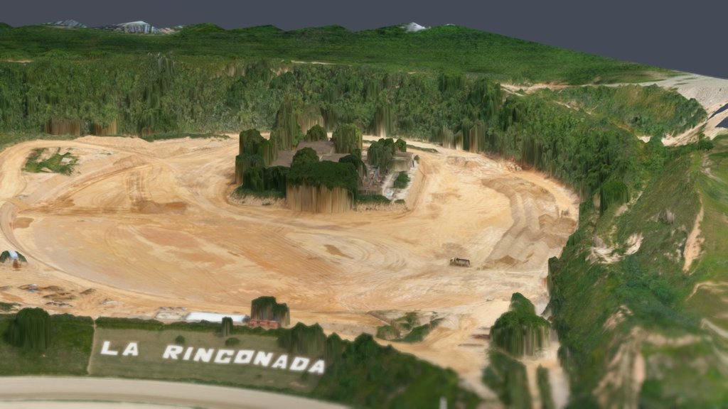
3D Modeling obtained through digital photogrammetry techniques, for calculation purposes of the amount of work executed. Four terrestrial ground control points were set up linked to the topographic control of civil works. These are tasks we perform in Venezuela using an original drone originally designed for cinema, modified for photogrammetry.
Download Model from sketchfab
With this file you will be able to print Avance Movimiento de Tierra Modelo 3D with your 3D printer. Click on the button and save the file on your computer to work, edit or customize your design. You can also find more 3D designs for printers on Avance Movimiento de Tierra Modelo 3D.