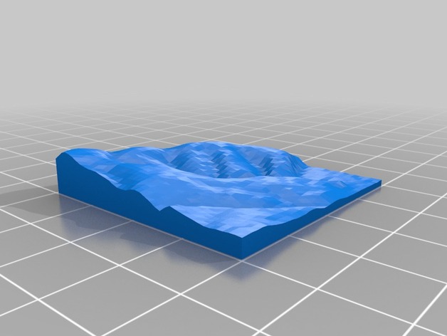
Arundel topographical model
thingiverse
Arundel's landscape is visualized through a meticulously crafted 3D model, prominently featuring the quaint town nestled at its base on the right side. The creation of this detailed topography relied heavily on Terrain2STL, an innovative web-based tool that converts freely accessible HGT files into functional STL files.
Download Model from thingiverse
With this file you will be able to print Arundel topographical model with your 3D printer. Click on the button and save the file on your computer to work, edit or customize your design. You can also find more 3D designs for printers on Arundel topographical model.
