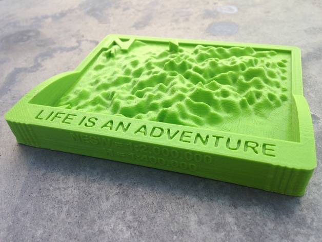
Area Map Mt Blanc
thingiverse
Mt Blanc Area Map. The entire area is clearly marked with prominent references to Morzine and Alpe 'd Huez. A full-scale model depicts the northeastern quadrant, with the southern half showcasing extensive detail, rendered in NESW format at 1:2,000,000 cm - Horizontal scaling at 1:400,000 cm. Instructions To create a customized map for a specific region, simply download and follow the comprehensive guidelines outlined in the additional document entitled "HOW TO MAKE."
Download Model from thingiverse
With this file you will be able to print Area Map Mt Blanc with your 3D printer. Click on the button and save the file on your computer to work, edit or customize your design. You can also find more 3D designs for printers on Area Map Mt Blanc.
