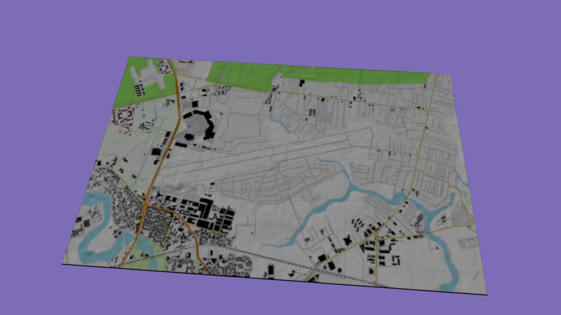
AIRPORT BANEASA TERRAIN PLUS TOPO OVERLAY
sketchfab
Romania's Bucharest Airport, Baneasa, is a hub of activity, with terrain data provided by the ALOS Palsar system. The resolution of this data is 12.5 meters, allowing for precise mapping. A detailed topographic map is available, showcasing the open terrain. Coordinated Reference Systems include UTM35N/WGS84.
Download Model from sketchfab
With this file you will be able to print AIRPORT BANEASA TERRAIN PLUS TOPO OVERLAY with your 3D printer. Click on the button and save the file on your computer to work, edit or customize your design. You can also find more 3D designs for printers on AIRPORT BANEASA TERRAIN PLUS TOPO OVERLAY.
