Aerial scan 7 3D model
cgtrader
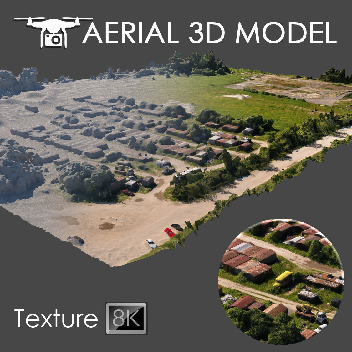
Scanning the terrain from 60 meters above using a quadcopter creates a detailed three-dimensional map. The digital representation consists of a single Edit Poly with a sweeping texture that's a whopping 8192 x 8192 pixels. This level of detail makes it perfect for background fills in master plans, allowing you to see every feature and detail of the landscape accurately reflected in your designs.
Download Model from cgtrader
With this file you will be able to print Aerial scan 7 3D model with your 3D printer. Click on the button and save the file on your computer to work, edit or customize your design. You can also find more 3D designs for printers on Aerial scan 7 3D model.