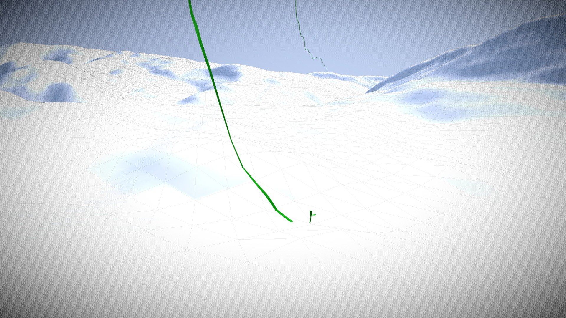
Aerial Gpx Animated sample
sketchfab
Michael Haberler's Balloon Expedition Captured by NASA Satellite Imagery During a remarkable aerial adventure, Michael Haberler embarked on a thrilling hot air balloon expedition. The event was meticulously documented using advanced satellite technology provided by the National Aeronautics and Space Administration (NASA). Specifically, the DEM (Digital Elevation Model) data utilized came from the ASTER GDEMv3, which offers highly detailed three-dimensional information about Earth's surface topography.
With this file you will be able to print Aerial Gpx Animated sample with your 3D printer. Click on the button and save the file on your computer to work, edit or customize your design. You can also find more 3D designs for printers on Aerial Gpx Animated sample.
