
5s-katze-dickelinien
thingiverse
This input data contains information about geographical locations with their corresponding latitudes and longitudes. It consists of two arrays; the first array includes these geographical locations and their coordinates, whereas the second is simply an index for every coordinate within the former. 1) Lat-lon pairs and index for them: Here's how it can be visualized: `[(13.0,-42.0),(11.4,-40.8),(10.5,-41.9), ... , (15.2,25.3)]` 1) Lat-lon pairs in separate variables: lat_pairs=[13.0,-42.0, 11.4,-40.8,... , 15.2, 25.3] lon_pairs = [13.5,-41.9,10.5,-41.9, ....,14.5,26.7] It can also be shown as two 2-D matrices like the one below: ``` # Latitude coordinates lat_matrix=[['-4.787','5.175'],['3.785' ,'-43.914']...] # Longitude Coordinates lon_matrix=['[-30.598' ,'-28.316'], ['-13.545', '-43.091']... ] ``` However, they would both be one dimensional arrays of strings to maintain accuracy and flexibility.

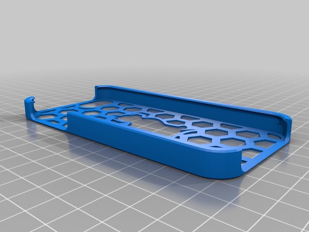
With this file you will be able to print 5s-katze-dickelinien with your 3D printer. Click on the button and save the file on your computer to work, edit or customize your design. You can also find more 3D designs for printers on 5s-katze-dickelinien.
