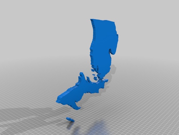
3D Topographic Maps of US States
thingiverse
These are individual STLs of the topography of each US state, derived from high-accuracy USGS data and meticulously projected using the precision Lambert Conformal Conic projection. They've been carefully scaled so that sea level is a mere 1/4 inch of thickness, the maximum height in the continental US stands at an impressive 3.25 inches, and when assembled would form a map roughly 7 feet wide and 4 feet tall. Each state has been simplified to a highly detailed STL file with an astonishing 10,000 facets to facilitate effortless slicing or cutting. For even more insight into how these files were generated, visit https://imgur.com/a/fMy19.
With this file you will be able to print 3D Topographic Maps of US States with your 3D printer. Click on the button and save the file on your computer to work, edit or customize your design. You can also find more 3D designs for printers on 3D Topographic Maps of US States.
