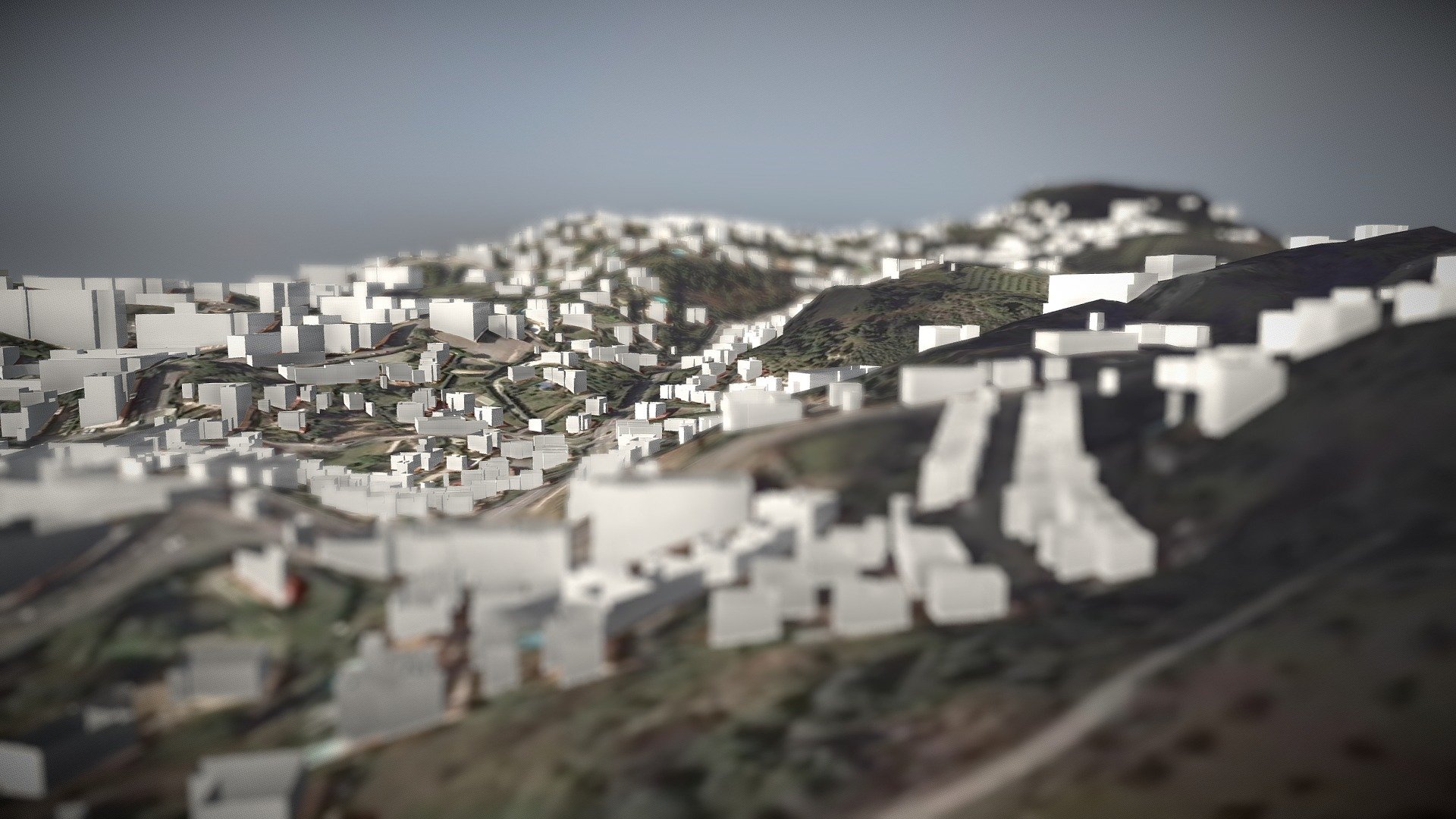
3D Terrain and OSM buildings
sketchfab
Developed using the DEM Net Elevation API, which is currently under development. The OSM database is instantly updated through direct connections to the Overpass API. Visualized imagery comes from MapBox's high-resolution satellite data. Digital elevation models are sourced from NASA's latest version of the Aster GDEM v003 dataset.
Download Model from sketchfab
With this file you will be able to print 3D Terrain and OSM buildings with your 3D printer. Click on the button and save the file on your computer to work, edit or customize your design. You can also find more 3D designs for printers on 3D Terrain and OSM buildings.