3D orthophoto digital model, property survey
sketchfab
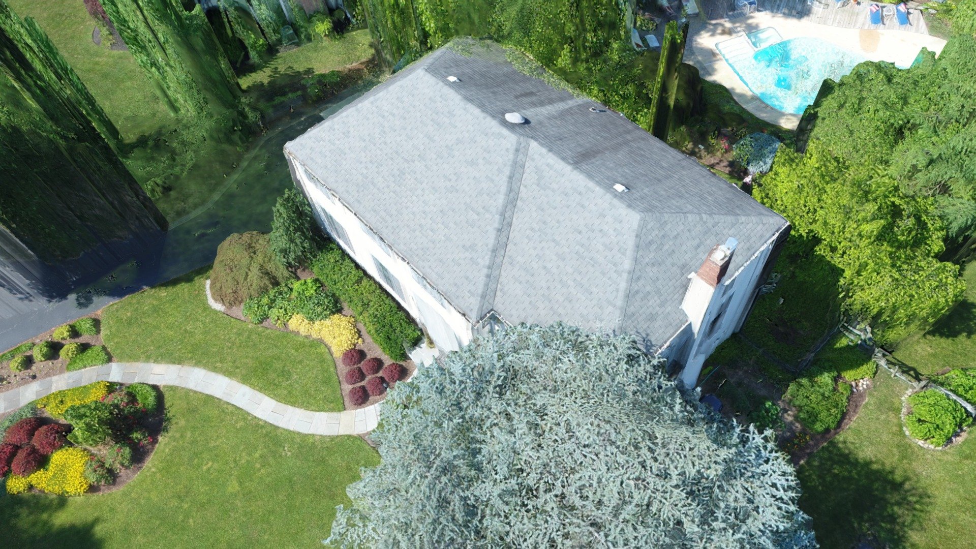
A cutting-edge digital landscape model, developed from a high-resolution 3D orthophoto, is created by utilizing the advanced capabilities of the DJI Mavic and/or DJI Phantom 4 Pro drone systems. This intricate model is then precision-crafted using the innovative processing tools available through DroneDeploy, a premier platform for aerial data analysis. For more information on this groundbreaking technology, please visit GeoAvatar.com.
Download Model from sketchfab
With this file you will be able to print 3D orthophoto digital model, property survey with your 3D printer. Click on the button and save the file on your computer to work, edit or customize your design. You can also find more 3D designs for printers on 3D orthophoto digital model, property survey.