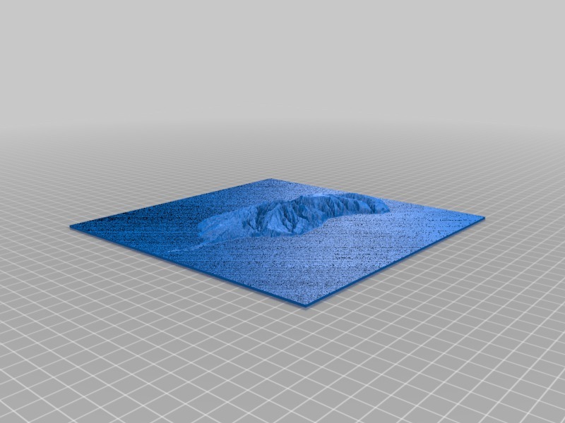
3D map of Madeira island
thingiverse
The intricate topography of Madeira Island unfolds like a vibrant tapestry, woven from the threads of rugged mountains, lush forests, and sparkling coastlines. A 3D map brings this enchanting landscape to life, revealing the island's unique geography in vivid detail. From the towering peak of Pico do Arieiro, the highest point on Madeira, to the tranquil waters of the Atlantic Ocean lapping against the shores, every aspect of this captivating destination is meticulously captured. The 3D map serves as a window into the heart of Madeira, inviting explorers to navigate its twisting valleys, discover hidden waterfalls, and marvel at the sheer diversity of flora and fauna that call this island home. Whether you're an intrepid adventurer or simply seeking to immerse yourself in the beauty of nature, a 3D map of Madeira Island is the perfect tool for unlocking the secrets of this mesmerizing archipelago. By offering a bird's-eye view of the terrain, it allows travelers to plan their journey with precision, pinpointing the most breathtaking vistas and hidden gems that lie waiting to be discovered. As you delve deeper into the 3D map, you'll find yourself drawn into the very essence of Madeira – its rich cultural heritage, its stunning natural beauty, and its people's warm hospitality. With every click, every zoom, and every rotation, the island comes alive, tempting you to explore its winding roads, visit its charming villages, and experience firsthand the magic that makes Madeira such a beloved destination. In short, a 3D map of Madeira Island is more than just a navigational tool – it's an immersive journey through one of the world's most enchanting islands.
With this file you will be able to print 3D map of Madeira island with your 3D printer. Click on the button and save the file on your computer to work, edit or customize your design. You can also find more 3D designs for printers on 3D map of Madeira island.
