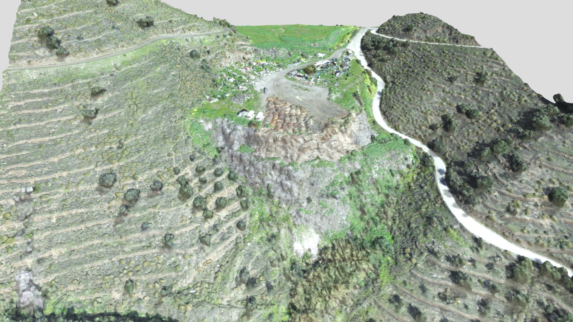
2021 02 11 Torrox topographic survey
sketchfab
Topographic surveys conducted with advanced unmanned aerial vehicles (UAVs) known as RPAS systems have become an essential tool for Topomar Topografos, a leading provider of topographical services. These surveys allow for the rapid collection and analysis of detailed terrain data, providing valuable insights into complex landscapes. Utilizing high-resolution cameras and sensors onboard the RPAS system, Topomar Topografos can generate accurate 3D models and orthophotos of even the most challenging environments. This cutting-edge technology enables efficient surveying operations, significantly reducing costs and increasing productivity for various industries such as construction, engineering, and environmental monitoring.
With this file you will be able to print 2021 02 11 Torrox topographic survey with your 3D printer. Click on the button and save the file on your computer to work, edit or customize your design. You can also find more 3D designs for printers on 2021 02 11 Torrox topographic survey.
