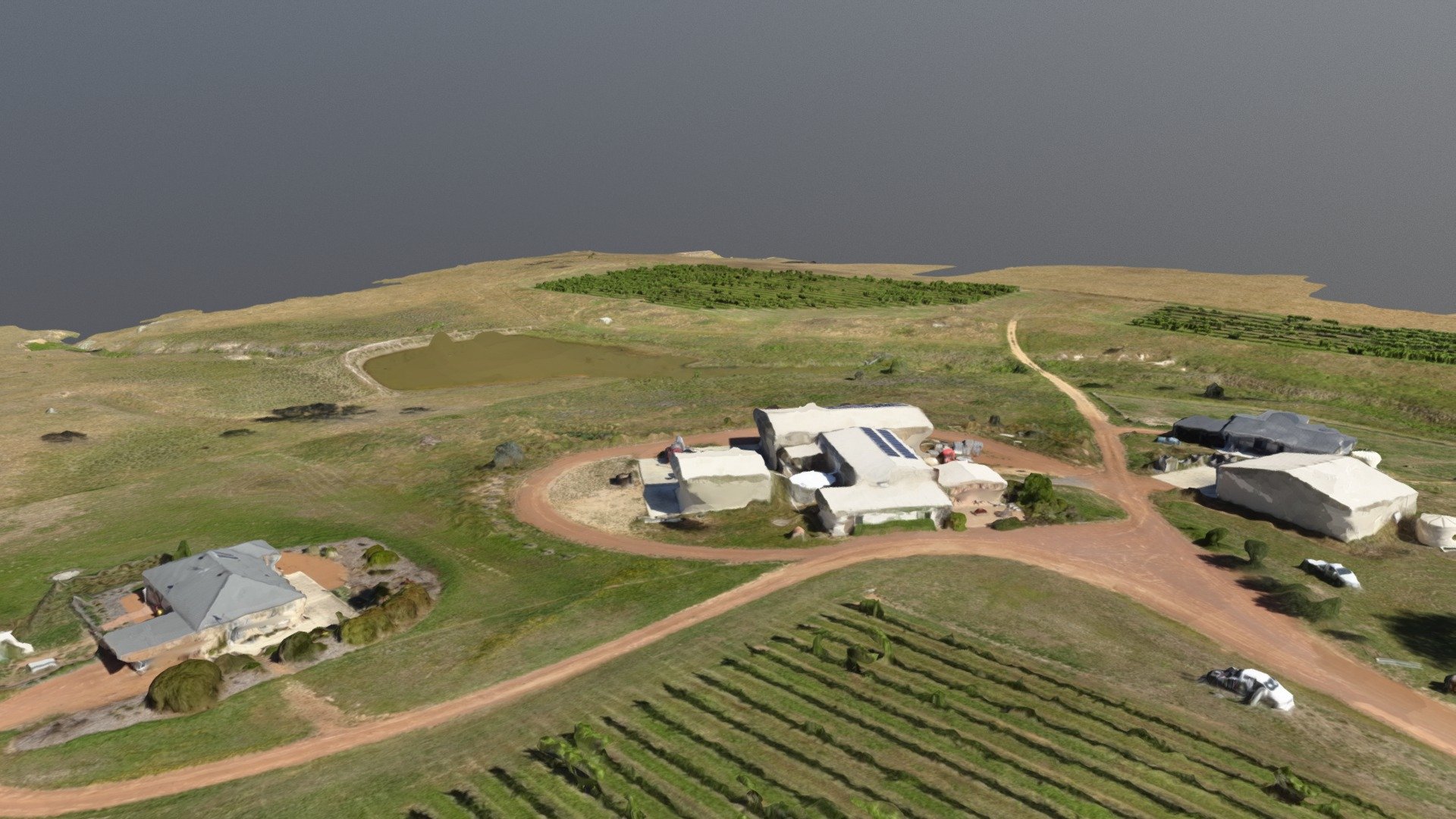
2017 12 11 Gallagher Wines 2 Simplified 3d Mesh
sketchfab
Four drones equipped with Gallagher Wines Vineyard technology are taking aerial photographs. The average distance between ground and camera is 2.72 centimeters. The area covered by these images amounts to 0.2425 square kilometers, which is equivalent to 24.2481 hectares, 0.0937 square miles, or 59.9494 acres. A dataset of 121 out of a total of 122 images has been successfully calibrated with an accuracy rate of nearly 99%. All the captured photographs are currently enabled for use. Georeferencing is in place thanks to five Ground Control Points (GCPs) located at different heights, resulting in a mean Root Mean Square Error (RMS error) of just 0.023.
With this file you will be able to print 2017 12 11 Gallagher Wines 2 Simplified 3d Mesh with your 3D printer. Click on the button and save the file on your computer to work, edit or customize your design. You can also find more 3D designs for printers on 2017 12 11 Gallagher Wines 2 Simplified 3d Mesh.
