19477 Correct_Mesh_Sunshine Bay Estate
sketchfab
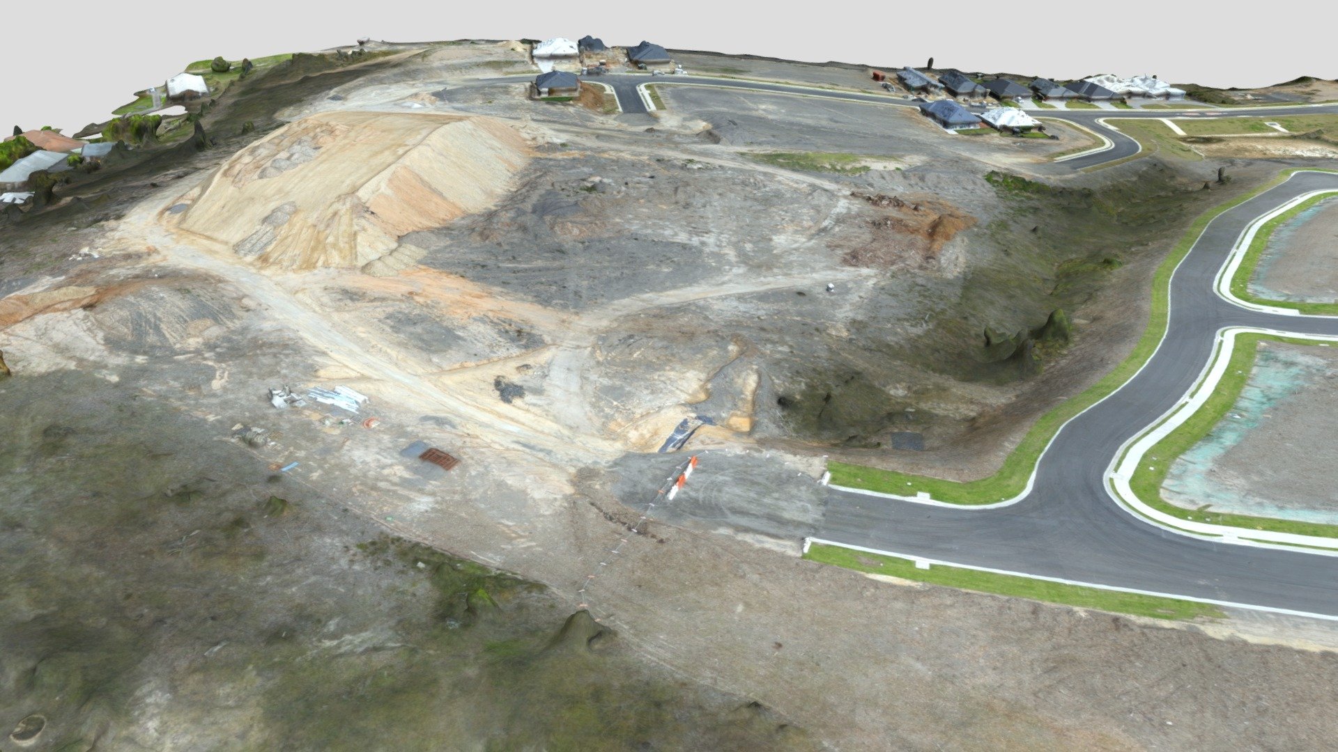
Surveyors employ precise mapping techniques to chart topographical features at a 20-hectare site with 0.5-meter contour accuracy using an eBee RTK drone equipped with SODA cameras, achieving a ground sampling distance of approximately 2.47 centimeters. Data collection is completed with 134 images successfully calibrated out of 134 (100% success rate), and all relevant imagery is enabled for analysis. Georeferencing involves utilizing eight ground control points (GCPs) in three-dimensional space, resulting in a mean root-mean-square error of just 0.014 meters.
With this file you will be able to print 19477 Correct_Mesh_Sunshine Bay Estate with your 3D printer. Click on the button and save the file on your computer to work, edit or customize your design. You can also find more 3D designs for printers on 19477 Correct_Mesh_Sunshine Bay Estate.